Transport Functions
Port
Road
Hub Profile
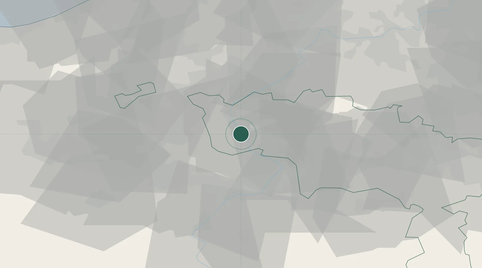
Place type
Populated place
Region
Wallonia
Population
970
Time zone
Europe/Brussels
Elevation
30 m
Location
Nearby Logistics Neighbours
Cities
- 1Doornik (Tournai)2 km
- 2Calonne3 km
- 3Bruyelle4 km
- 4Antoing4 km
- 5Péronnes4 km
Ports
- 1Ghent59 km
- 2Bruges73 km
- 3Bruxelles74 km
- 4Nieuwpoort76 km
- 5Oostende80 km
Airports
Trade Zones
DatabookThe Record of Consolidated Knowledge
Belgium beyond logistics?