Transport Functions
Rail
Road
Multimodal
Hub Profile
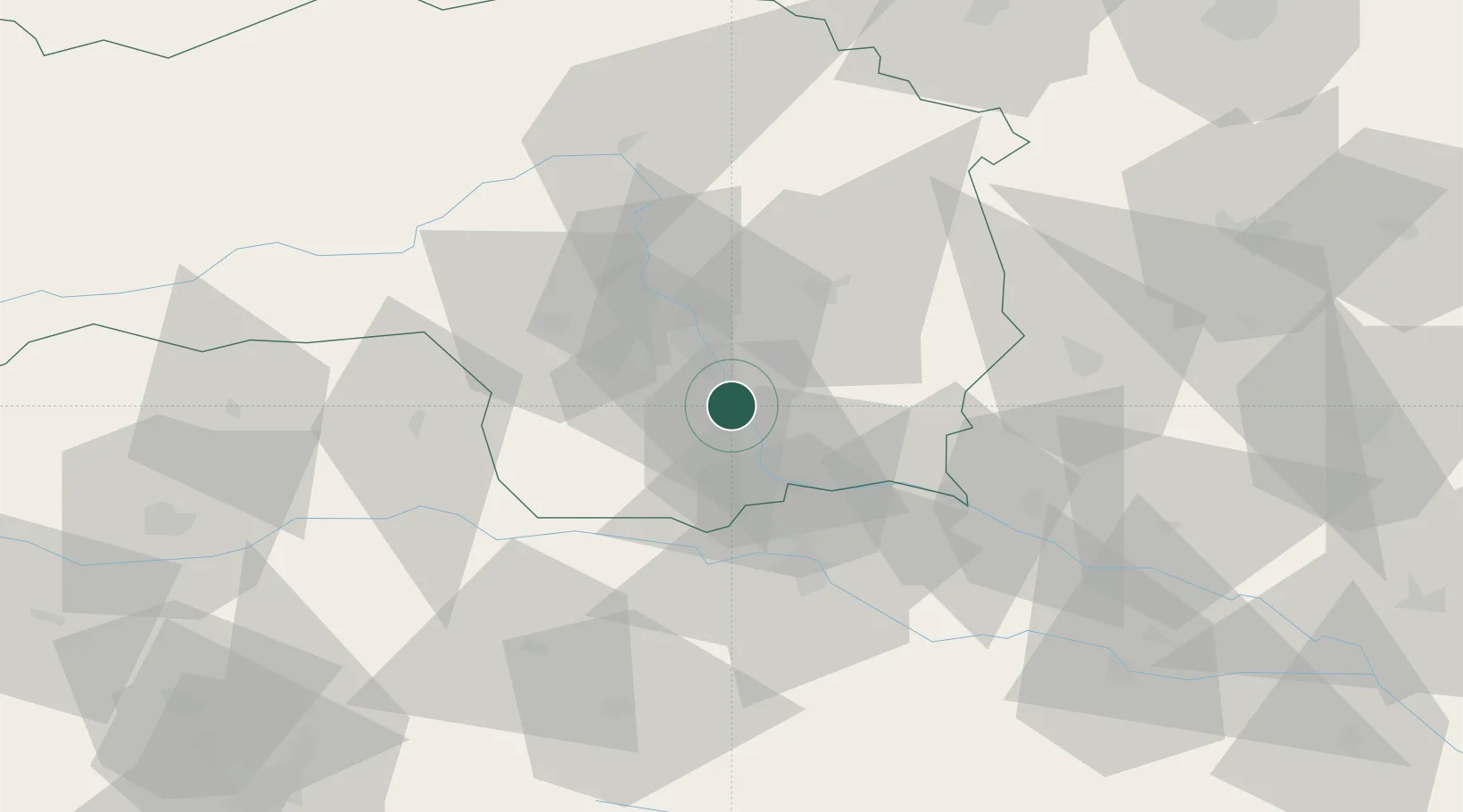
Place type
District seat
Region
Styria
Population
2,652
Time zone
Europe/Vienna
Elevation
320 m
Location
Nearby Logistics Neighbours
Cities
- 1Weitendorf4 km
- 2Lebring4 km
- 3Graz7 km
- 4Tillmitsch10 km
- 5Hausmannstatten11 km
Ports
- 1Rijeka Luka192 km
- 2Bakar192 km
- 3Trieste193 km
- 4Monfalcone194 km
- 5Muggia196 km
Airports
- 1Graz Airport13 km
- 2Maribor Edvard Rusjan Airport47 km
- 3Hinterstoisser Air Base69 km
- 4Klagenfurt Airport94 km
- 5Ljubljana Jože Pučnik Airport109 km
Trade Zones
- 1Krapina-Zagorje Free Zone86 km
- 2Sjever Free Zone91 km
- 3PJ Free Zone Zagreb124 km
- 4Free Zone Kukuljanovo189 km
- 5Free Port of Trieste193 km
DatabookThe Record of Consolidated Knowledge
Austria beyond logistics?