Transport Functions
Rail
Road
Hub Profile
Place type
Populated place
Region
Upper Austria
Population
72
Time zone
Europe/Vienna
Elevation
576 m
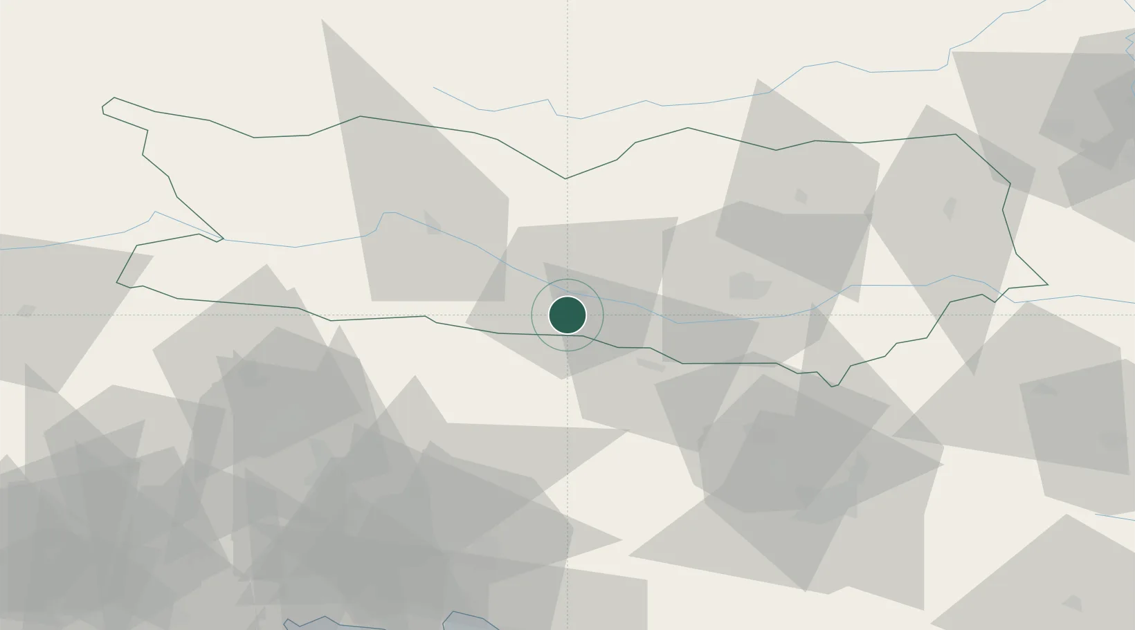
Location
Nearby Logistics Neighbours
Cities
- 1Obere Fellach8 km
- 2Gummern11 km
- 3Kranjska Gora11 km
- 4Kiskunmajsa13 km
- 5Rosenbach15 km
Ports
- 1Monfalcone90 km
- 2Trieste102 km
- 3Nogaro104 km
- 4Grado106 km
- 5Muggia108 km
Airports
- 1Klagenfurt Airport38 km
- 2Ljubljana Jože Pučnik Airport60 km
- 3Trieste Airport87 km
- 4Udine-Rivolto Air Base90 km
- 5Hinterstoisser Air Base98 km
Trade Zones
- 1Free Port of Trieste103 km
- 2Free Zone Kukuljanovo146 km
- 3Port of Rijeka Free Zone156 km
- 4Krapina-Zagorje Free Zone162 km
- 5Free Port of Venice173 km
DatabookThe Record of Consolidated Knowledge
Austria beyond logistics?