Transport Functions
Rail
Road
Hub Profile
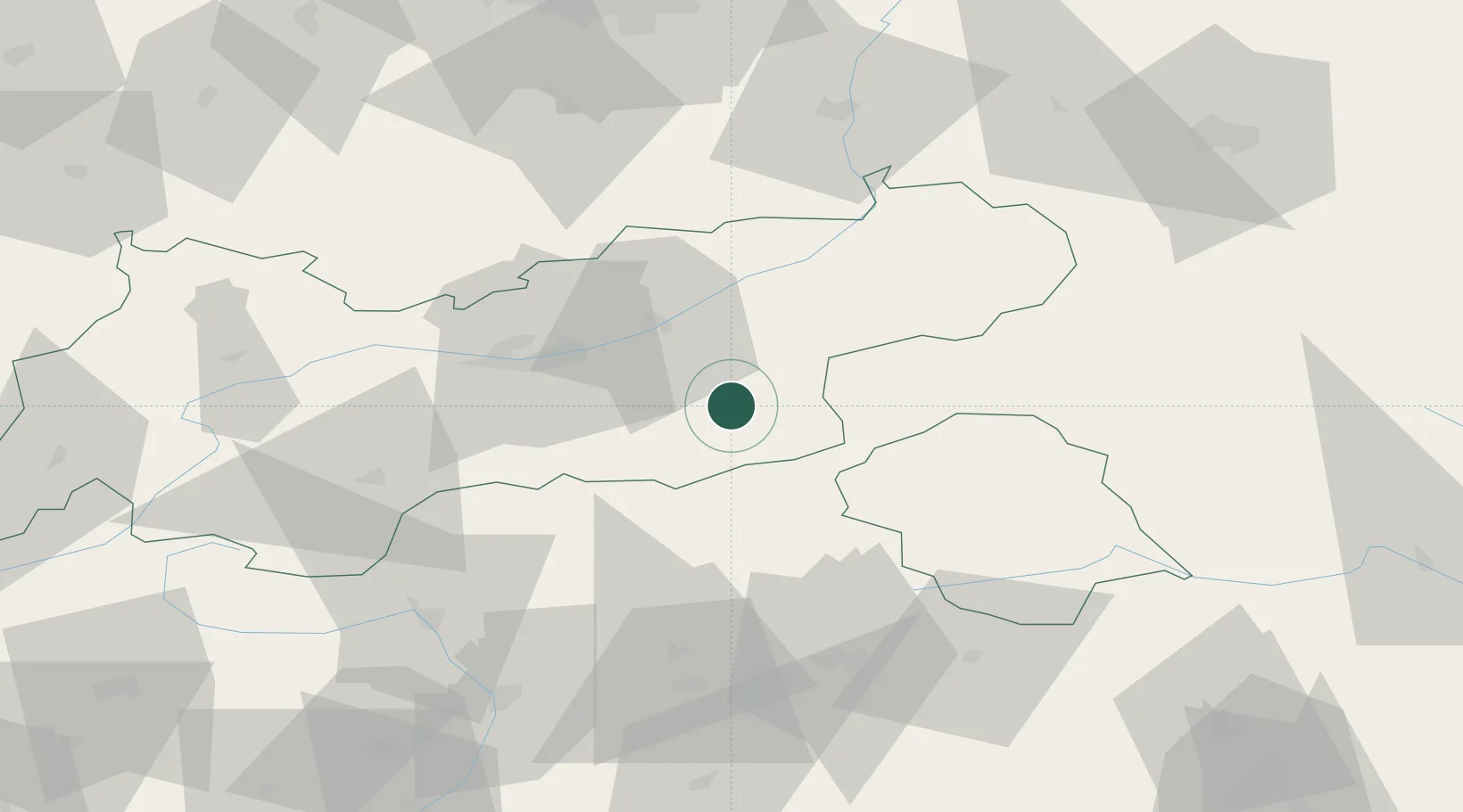
Place type
District seat
Region
Tyrol
Population
3,720
Time zone
Europe/Vienna
Elevation
633 m
Location
Nearby Logistics Neighbours
Ports
- 1Nogaro186 km
- 2Grado197 km
- 3Porto Di Lido-Venezia199 km
- 4Monfalcone201 km
- 5Porto Di Chioggia218 km
Airports
- 1Innsbruck Airport41 km
- 2Bolzano Airport89 km
- 3Salzburg Airport110 km
- 4Oberpfaffenhofen Airport111 km
- 5Munich Airport132 km
Trade Zones
- 1Livigno Free Trade Zone152 km
- 2Free Port of Venice196 km
- 3Consorzio Zona Industriale e Porto Fluviale di Padova198 km
- 4Freeport of Deggendorf202 km
- 5Free Port of Trieste223 km
DatabookThe Record of Consolidated Knowledge
Austria beyond logistics?