Transport Functions
Road
Multimodal
Hub Profile
Place type
District seat
Region
Salzburg
Population
1,520
Time zone
Europe/Vienna
Elevation
669 m
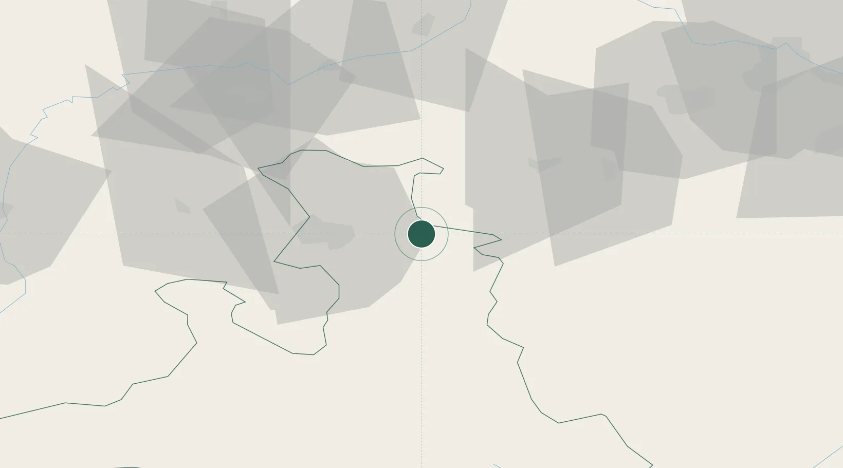
Location
Nearby Logistics Neighbours
Cities
- 1Faistenau7 km
- 2Eugendorf16 km
- 3Hallwang17 km
- 4Neumarkt am Wallersee17 km
- 5Adnet18 km
Ports
- 1Monfalcone225 km
- 2Nogaro227 km
- 3Grado234 km
- 4Trieste241 km
- 5Muggia247 km
Airports
- 1Salzburg Airport22 km
- 2Linz-Hörsching Airport82 km
- 3Landshut Airfield123 km
- 4Hinterstoisser Air Base127 km
- 5Munich Airport128 km
Trade Zones
- 1Freeport of Deggendorf120 km
- 2Free Port of Trieste242 km
- 3Světlá nad Sázavou Municipal Industrial Zone259 km
- 4Krapina-Zagorje Free Zone268 km
- 5Podbořany Industrial Zone270 km
DatabookThe Record of Consolidated Knowledge
Austria beyond logistics?