UN/LOCODE hub · Austria
ATFKC
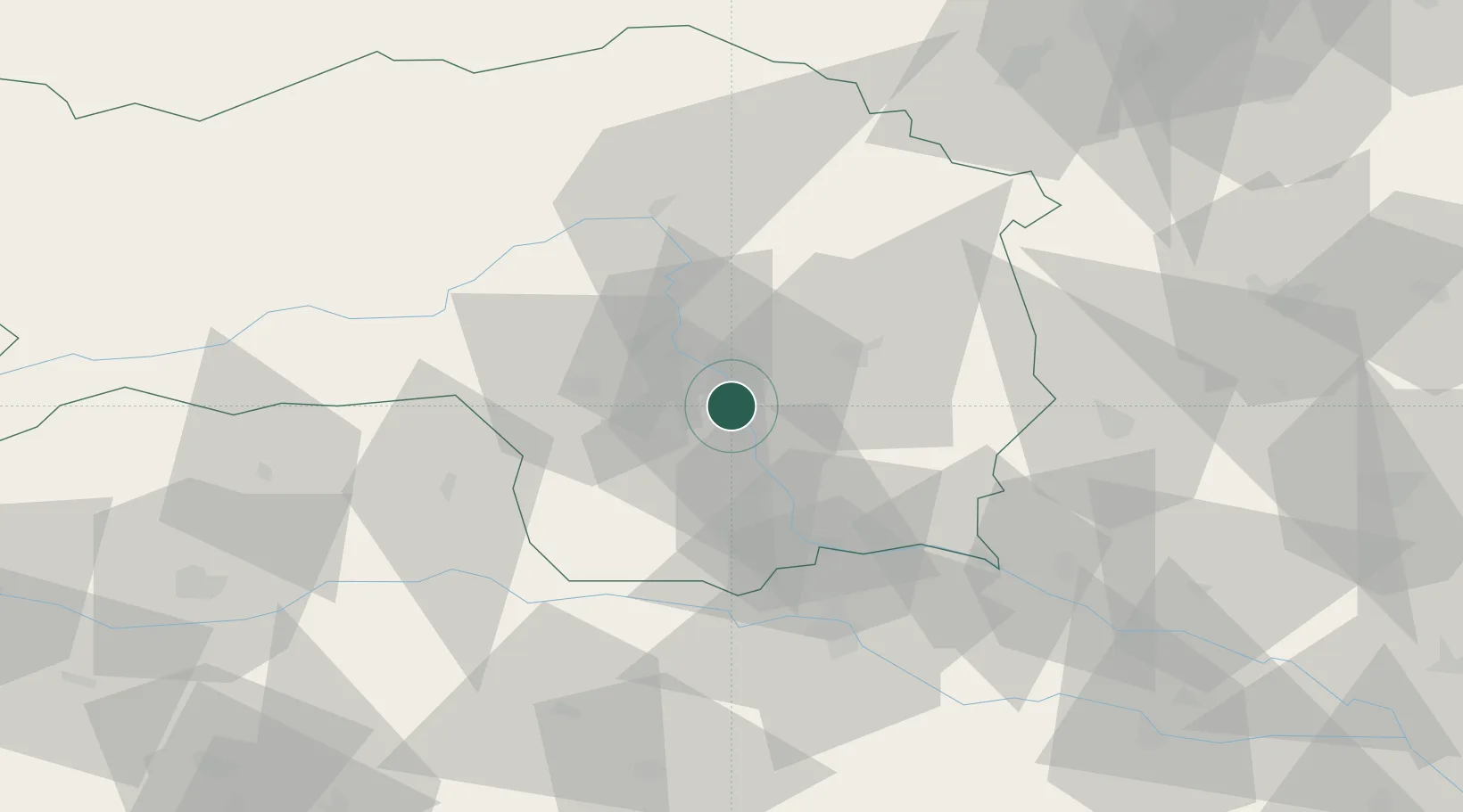
Feldkirchen bei Graz
47.0167°, 15.4500°
1,625
Population
2
Transport functions
Transport Functions
Rail
Road
Hub Profile
Place type
District seat
Region
Styria
Population
1,625
Time zone
Europe/Vienna
Elevation
332 m
Location
Nearby Logistics Neighbours
Cities
- 1Raaba3 km
- 2Neupirka3 km
- 3Seiersberg4 km
- 4Gössendorf5 km
- 5Hausmannstatten5 km
Ports
- 1Monfalcone200 km
- 2Trieste200 km
- 3Rijeka Luka203 km
- 4Bakar204 km
- 5Muggia204 km
Airports
- 1Graz Airport3 km
- 2Hinterstoisser Air Base57 km
- 3Maribor Edvard Rusjan Airport62 km
- 4Klagenfurt Airport94 km
- 5Wiener Neustadt West Airport108 km
Trade Zones
- 1Krapina-Zagorje Free Zone102 km
- 2Sjever Free Zone106 km
- 3PJ Free Zone Zagreb139 km
- 4Free Zone Kukuljanovo200 km
- 5Free Port of Trieste201 km
DatabookThe Record of Consolidated Knowledge
Austria beyond logistics?