Transport Functions
Multimodal
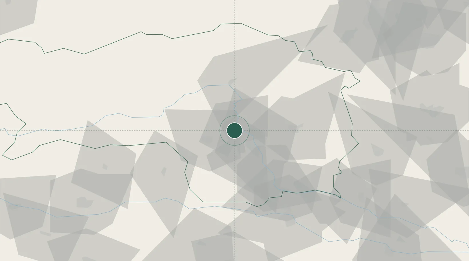
Hub Profile
Place type
District seat
Region
Styria
Population
3,729
Time zone
Europe/Vienna
Elevation
406 m
Location
Nearby Logistics Neighbours
Cities
- 1Judendorf3 km
- 2Peggau10 km
- 3Seiersberg14 km
- 4Feldkirchen bei Graz15 km
- 5Neupirka15 km
Ports
- 1Monfalcone201 km
- 2Trieste203 km
- 3Muggia206 km
- 4Rijeka Luka210 km
- 5Bakar211 km
Airports
- 1Graz Airport17 km
- 2Hinterstoisser Air Base44 km
- 3Maribor Edvard Rusjan Airport76 km
- 4Klagenfurt Airport91 km
- 5Wiener Neustadt West Airport105 km
Trade Zones
- 1Krapina-Zagorje Free Zone116 km
- 2Sjever Free Zone121 km
- 3PJ Free Zone Zagreb153 km
- 4Free Port of Trieste203 km
- 5Free Zone Kukuljanovo208 km
DatabookThe Record of Consolidated Knowledge
Austria beyond logistics?