Transport Functions
Road
Multimodal
Hub Profile
Place type
Provincial seat
Region
Bács-Kiskun
Population
11,955
Time zone
Europe/Budapest
Elevation
104 m
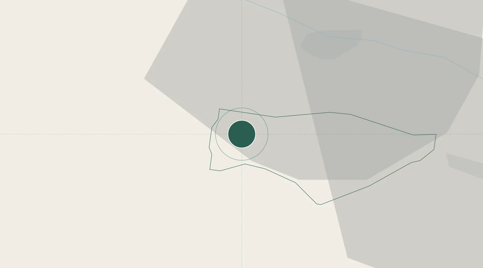
Location
Nearby Logistics Neighbours
Cities
- 1Kranjska Gora4 km
- 2Fusine in Valromana8 km
- 3Gödersdorf13 km
- 4Obere Fellach18 km
- 5Gummern19 km
Ports
- 1Monfalcone79 km
- 2Nogaro92 km
- 3Trieste93 km
- 4Grado94 km
- 5Muggia98 km
Airports
- 1Klagenfurt Airport50 km
- 2Ljubljana Jože Pučnik Airport63 km
- 3Trieste Airport76 km
- 4Udine-Rivolto Air Base77 km
- 5Aviano Air Base101 km
Trade Zones
- 1Free Port of Trieste93 km
- 2Free Zone Kukuljanovo141 km
- 3Port of Rijeka Free Zone149 km
- 4Free Port of Venice161 km
- 5Krapina-Zagorje Free Zone169 km
DatabookThe Record of Consolidated Knowledge
Hungary beyond logistics?