Transport Functions
Multimodal
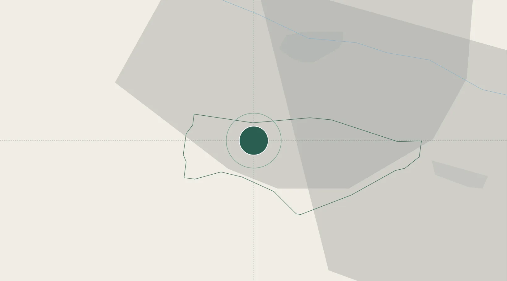
Hub Profile
Place type
Regional capital
Region
Kranjska Gora
Population
1,439
Time zone
Europe/Ljubljana
Elevation
1,042 m
Location
Nearby Logistics Neighbours
Cities
- 1Kiskunmajsa4 km
- 2Gödersdorf11 km
- 3Fusine in Valromana12 km
- 4Obere Fellach17 km
- 5Gummern19 km
Ports
- 1Monfalcone80 km
- 2Trieste93 km
- 3Nogaro94 km
- 4Grado95 km
- 5Muggia98 km
Airports
- 1Klagenfurt Airport46 km
- 2Ljubljana Jože Pučnik Airport59 km
- 3Trieste Airport77 km
- 4Udine-Rivolto Air Base80 km
- 5Aviano Air Base104 km
Trade Zones
- 1Free Port of Trieste93 km
- 2Free Zone Kukuljanovo140 km
- 3Port of Rijeka Free Zone148 km
- 4Free Port of Venice163 km
- 5Krapina-Zagorje Free Zone165 km
DatabookThe Record of Consolidated Knowledge
Slovenia beyond logistics?