Transport Functions
Road
Multimodal
Hub Profile
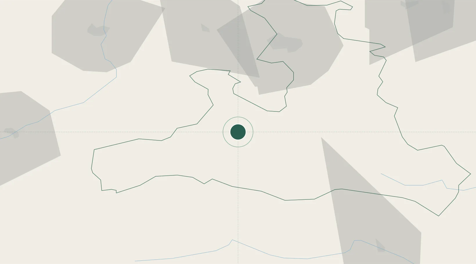
Place type
District seat
Region
Salzburg
Population
1,909
Time zone
Europe/Vienna
Elevation
766 m
Location
Nearby Logistics Neighbours
Cities
- 1Saalfelden am Steinernen Meer6 km
- 2Kaprun11 km
- 3Hochfilzen18 km
- 4Schwarzach im Pongau27 km
- 5Bischofshofen32 km
Ports
- 1Nogaro181 km
- 2Monfalcone185 km
- 3Grado190 km
- 4Trieste204 km
- 5Muggia210 km
Airports
- 1Salzburg Airport50 km
- 2Innsbruck Airport110 km
- 3Munich Airport133 km
- 4Oberpfaffenhofen Airport139 km
- 5Landshut Airfield140 km
Trade Zones
- 1Freeport of Deggendorf165 km
- 2Free Port of Trieste205 km
- 3Free Port of Venice218 km
- 4Livigno Free Trade Zone225 km
- 5Consorzio Zona Industriale e Porto Fluviale di Padova230 km
DatabookThe Record of Consolidated Knowledge
Austria beyond logistics?