Transport Functions
Multimodal
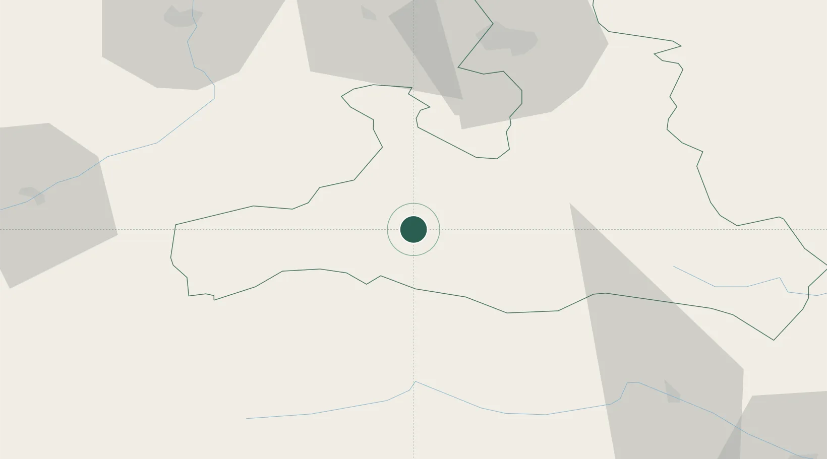
Hub Profile
Place type
District seat
Region
Salzburg
Population
3,177
Time zone
Europe/Vienna
Elevation
786 m
Location
Nearby Logistics Neighbours
Cities
- 1Maishofen11 km
- 2Saalfelden am Steinernen Meer17 km
- 3Hochfilzen25 km
- 4Schwarzach im Pongau29 km
- 5Badgastein32 km
Ports
- 1Nogaro170 km
- 2Monfalcone176 km
- 3Grado179 km
- 4Trieste195 km
- 5Muggia201 km
Airports
- 1Salzburg Airport61 km
- 2Innsbruck Airport107 km
- 3Aviano Air Base138 km
- 4Klagenfurt Airport138 km
- 5Munich Airport141 km
Trade Zones
- 1Freeport of Deggendorf176 km
- 2Free Port of Trieste195 km
- 3Free Port of Venice207 km
- 4Livigno Free Trade Zone219 km
- 5Consorzio Zona Industriale e Porto Fluviale di Padova219 km
DatabookThe Record of Consolidated Knowledge
Austria beyond logistics?