Transport Functions
Multimodal
Hub Profile
Place type
District seat
Region
Tyrol
Population
1,196
Time zone
Europe/Vienna
Elevation
1,000 m
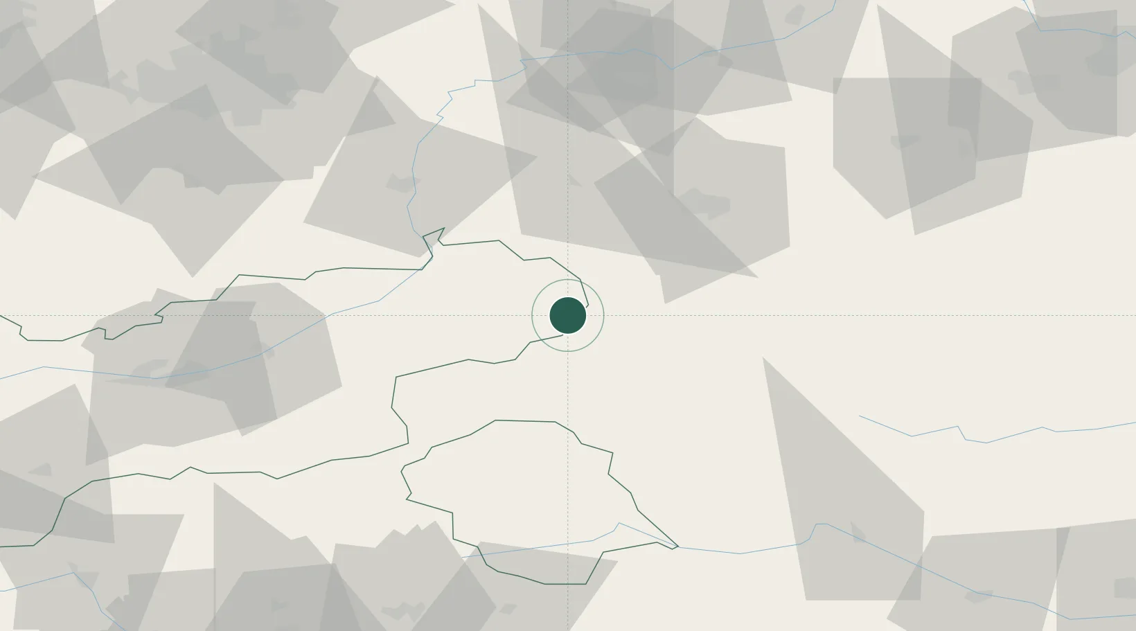
Location
Nearby Logistics Neighbours
Cities
- 1Saalfelden am Steinernen Meer17 km
- 2Maishofen18 km
- 3Kaprun25 km
- 4Bayern38 km
- 5Adelholzen39 km
Ports
- 1Nogaro195 km
- 2Monfalcone200 km
- 3Grado204 km
- 4Trieste220 km
- 5Muggia225 km
Airports
- 1Salzburg Airport47 km
- 2Innsbruck Airport99 km
- 3Munich Airport117 km
- 4Oberpfaffenhofen Airport121 km
- 5Landshut Airfield124 km
Trade Zones
- 1Freeport of Deggendorf155 km
- 2Livigno Free Trade Zone217 km
- 3Free Port of Trieste220 km
- 4Free Port of Venice228 km
- 5Consorzio Zona Industriale e Porto Fluviale di Padova237 km
DatabookThe Record of Consolidated Knowledge
Austria beyond logistics?