Transport Functions
Multimodal
Hub Profile
Place type
Provincial seat
Region
Entre Rios
Population
24,716
Time zone
America/Argentina/Cordoba
Elevation
52 m
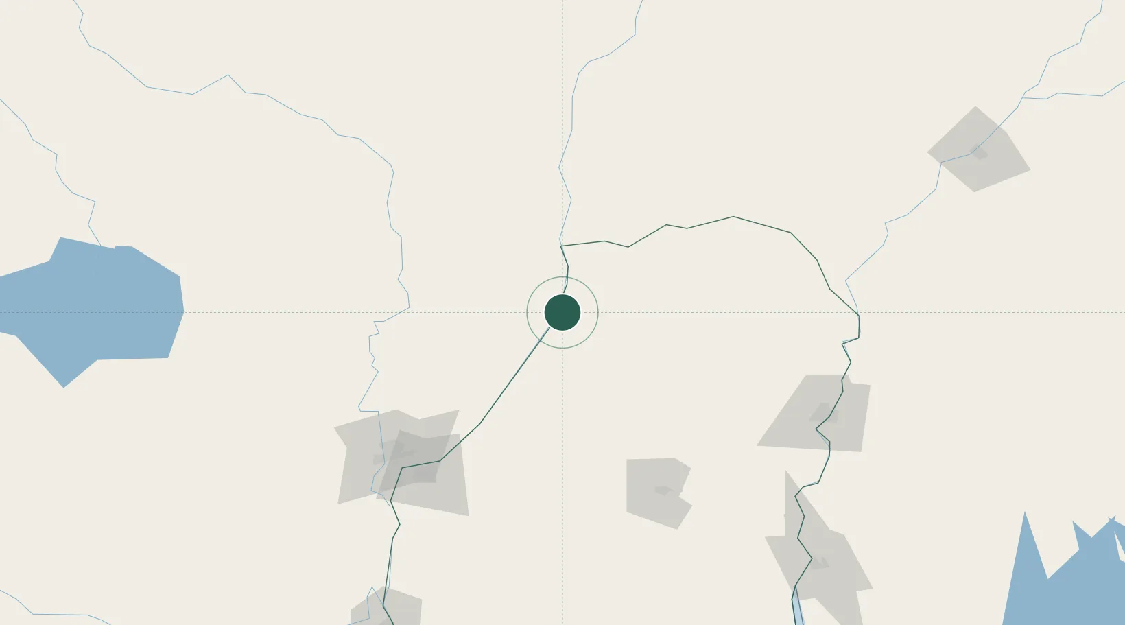
Location
Nearby Logistics Neighbours
Cities
- 1San Javier34 km
- 2Villa Hernandarias62 km
- 3Santa Fe136 km
- 4Paraná138 km
- 5San Salvador146 km
Airports
- 1General Urquiza Airport140 km
- 2Sauce Viejo Airport154 km
- 3Comodoro Pierrestegui Airport169 km
- 4Reconquista Airport171 km
- 5Nueva Hesperides International Airport176 km
Trade Zones
- 1Zona Franca UPM295 km
- 2UPM Fray Bentos Free Zone295 km
- 3Nueva Palmira Free Zone368 km
- 4Rivera Free Zone391 km
- 5Montes de Plata Free Zone414 km
DatabookThe Record of Consolidated Knowledge
Argentina beyond logistics?