UN/LOCODE hub · Argentina
ARSJR
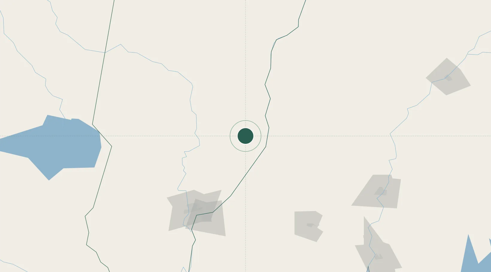
San Javier
-30.5833°, -59.9500°
15,606
Population
1
Transport functions
Transport Functions
Multimodal
Hub Profile
Place type
Provincial seat
Region
Santa Fe
Population
15,606
Time zone
America/Argentina/Cordoba
Elevation
30 m
Location
Nearby Logistics Neighbours
Cities
- 1La Paz34 km
- 2Villa Hernandarias72 km
- 3Santa Fe133 km
- 4Paraná139 km
- 5Humboldt142 km
Ports
- 1Parana138 km
- 2Santa Fe138 km
- 3Diamante178 km
- 4Concordia204 km
- 5Puerto San Martin249 km
Airports
- 1General Urquiza Airport144 km
- 2Sauce Viejo Airport150 km
- 3Reconquista Airport155 km
- 4Goya Airport179 km
- 5Comodoro Pierrestegui Airport203 km
Trade Zones
- 1Zona Franca UPM325 km
- 2UPM Fray Bentos Free Zone325 km
- 3Nueva Palmira Free Zone395 km
- 4Rivera Free Zone422 km
- 5Montes de Plata Free Zone442 km
DatabookThe Record of Consolidated Knowledge
Argentina beyond logistics?