Transport Functions
Port
Multimodal
Hub Profile
Place type
Provincial seat
Region
Mendoza
Time zone
America/Argentina/Mendoza
Elevation
864 m
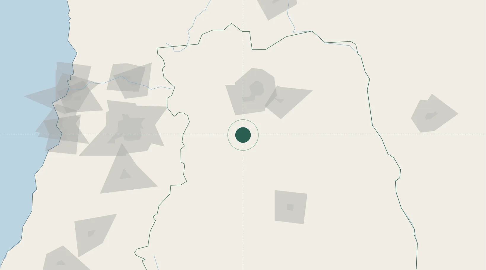
Location
Nearby Logistics Neighbours
Cities
- 1La Consulta21 km
- 2San Carlos22 km
- 3Eugenio Bustos23 km
- 4Agrelo52 km
- 5Barrancas56 km
Ports
- 1Puerto San Antonio241 km
- 2Bahia De Valparaiso249 km
- 3Bahia Quintero (Ventanas)251 km
- 4Bahia Herradura Guayacan458 km
- 5Coquimbo458 km
Airports
Trade Zones
- 1Zona Franca Mendoza Free Trade Zone56 km
- 2Zona Franca de San Luis356 km
- 3Justo Daract Free Trade Zone356 km
- 4Córdoba Free Trade Zone520 km
- 5General Pico Free Zone534 km
DatabookThe Record of Consolidated Knowledge
Argentina beyond logistics?