Medium airport · Chile

La Independencia AirportSCRG
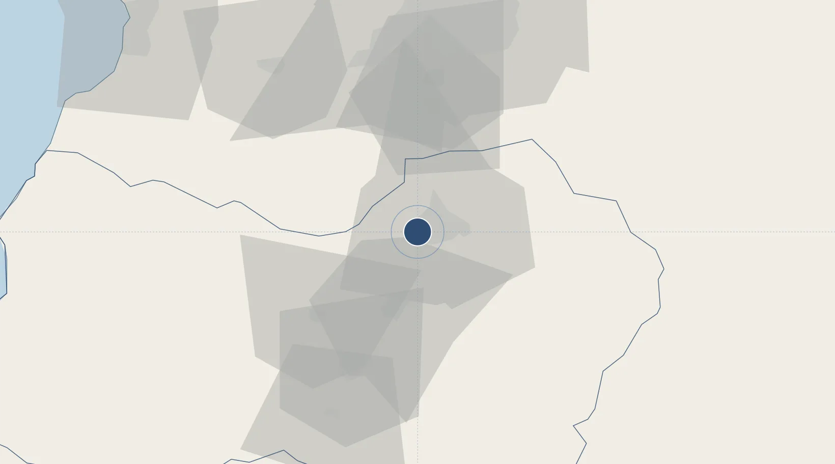
-34.1737°, -70.7757°
5,258 ft
Longest runway
1
Runways
1,610 ft
Elevation

Runway & Layout

La Independencia Airport runway & taxiway layout
Runway & taxiway layout — OpenStreetMap (ODbL) / OurAirports

Radio Frequencies

TWR
126.65 MHz
RANCAGUA TWR
GND
121.9 MHz
Rancagua Terrestre
OurAirports

Runways · 1

RunwayDimensions SurfaceTrue headingLit
03/21 5,258 × 75ft ASPH 036°
OurAirports

Airport Specifications

ICAO code
SCRG
OurAirports
Airport class
Medium airport
OurAirports
Scheduled service
No
OurAirports
Runway surface
ASPH
OurAirports
Served city
Rancagua
OurAirports

Location

Location of SCRG
Natural Earth 10m (public domain) · Libertador General Bernardo O'Higgins · SCRG · -34.17, -70.78GoogleOSMYandex

Nearby Logistics Neighbours

Airports
  1. 1Comodoro Arturo Merino Benítez International Airport87 km
  2. 2Viña del Mar Airport151 km
  3. 3Panguilemo Airport154 km
  4. 4Comodoro D.R. Salomón Airport183 km
  5. 5Suboficial Ay Santiago Germano Airport223 km
Nearest neighbours — logibook spatial index (haversine) over the source coordinates
Cities
  1. 1Rancagua6 km
  2. 2Olivar12 km
  3. 3Requínoa13 km
  4. 4San Francisco de Mostazal22 km
  5. 5Campamento Barahona25 km
Nearest neighbours — logibook spatial index (haversine) over the source coordinates
Ports
  1. 1Puerto San Antonio102 km
  2. 2Bahia De Valparaiso149 km
  3. 3Bahia Quintero (Ventanas)172 km
  4. 4Lirquen346 km
  5. 5Penco347 km
Nearest neighbours — logibook spatial index (haversine) over the source coordinates
Trade Zones
  1. 1Zona Franca Mendoza Free Trade Zone207 km
  2. 2Zona Franca de San Luis517 km
  3. 3Justo Daract Free Trade Zone517 km
  4. 4Zona Franca Zapala (Zapala Free Trade Zone)526 km
  5. 5General Pico Free Zone659 km
Nearest neighbours — logibook spatial index (haversine) over the source coordinates
DatabookThe Record of Consolidated Knowledge
Chile beyond logistics?
Browse databook

All Sources

AirportsOurAirports
Public domain
Portsthe NGA World Port Index
Public domain (US gov)
LocationsUN/LOCODE
UN/LOCODE — free
Trade Zonesthe World Bank SEZ database
CC BY 4.0
Trade ZonesOpen Zone Map
CC BY
InfrastructureOpenStreetMap
ODbL 1.0
← Chile airports