Transport Functions
Multimodal
Hub Profile
Place type
Populated place
Region
Mendoza
Time zone
America/Argentina/Mendoza
Elevation
967 m
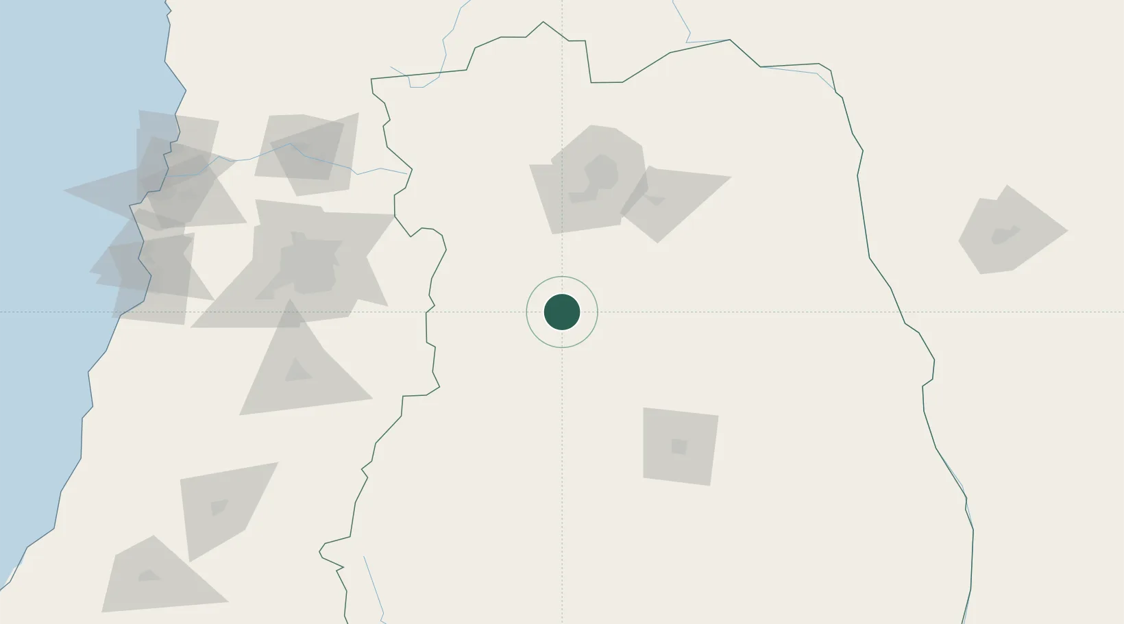
Location
Nearby Logistics Neighbours
Cities
- 1San Carlos3 km
- 2La Consulta6 km
- 3Tunuyan23 km
- 4Barrancas41 km
- 5Agrelo74 km
Ports
- 1Puerto San Antonio237 km
- 2Bahia De Valparaiso250 km
- 3Bahia Quintero (Ventanas)255 km
- 4Bahia Herradura Guayacan475 km
- 5Coquimbo475 km
Airports
Trade Zones
- 1Zona Franca Mendoza Free Trade Zone79 km
- 2Zona Franca de San Luis359 km
- 3Justo Daract Free Trade Zone359 km
- 4General Pico Free Zone528 km
- 5Córdoba Free Trade Zone535 km
DatabookThe Record of Consolidated Knowledge
Argentina beyond logistics?