Medium airport · Argentina

Suboficial Ay Santiago Germano AirportSAMR
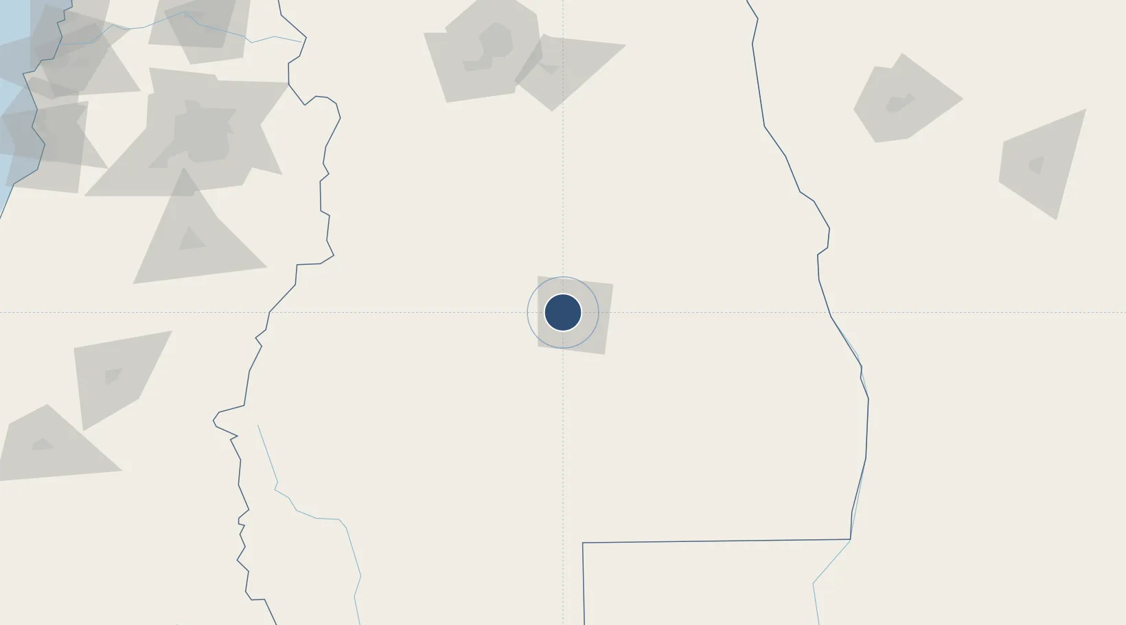
-34.5883°, -68.4039°
6,923 ft
Longest runway
1
Runways
2,470 ft
Elevation

Runway & Layout

Suboficial Ay Santiago Germano Airport runway & taxiway layout
Runway & taxiway layout — OpenStreetMap (ODbL) / OurAirports

Radio Frequencies

TWR
118.1 MHz
OurAirports

Navaids

SRA VOR San Rafael 116.90 MHz
OurAirports

Runways · 1

RunwayDimensions SurfaceTrue headingLit
11/29 6,923 × 98ft Asphalt 108°
OurAirports

Airport Specifications

IATA code
AFA
OurAirports
ICAO code
SAMR
OurAirports
Airport class
Medium airport
OurAirports
Scheduled service
Yes
OurAirports
Runway surface
Asphalt
OurAirports
Served city
San Rafael
OurAirports

Location

Location of SAMR
Natural Earth 10m (public domain) · Mendoza · SAMR · -34.59, -68.40GoogleOSMYandex

Nearby Logistics Neighbours

Cities
  1. 1Las Paredes4 km
  2. 2Cuadro Nacional12 km
  3. 3Barrancas71 km
  4. 4General Alvear83 km
  5. 5San Carlos108 km
Nearest neighbours — logibook spatial index (haversine) over the source coordinates
Ports
  1. 1Puerto San Antonio316 km
  2. 2Bahia De Valparaiso344 km
  3. 3Bahia Quintero (Ventanas)353 km
  4. 4Lirquen477 km
  5. 5Penco478 km
Nearest neighbours — logibook spatial index (haversine) over the source coordinates
Trade Zones
  1. 1Zona Franca Mendoza Free Trade Zone178 km
  2. 2Zona Franca de San Luis308 km
  3. 3Justo Daract Free Trade Zone308 km
  4. 4General Pico Free Zone438 km
  5. 5Zona Franca Zapala (Zapala Free Trade Zone)500 km
Nearest neighbours — logibook spatial index (haversine) over the source coordinates
DatabookThe Record of Consolidated Knowledge
Argentina beyond logistics?
Browse databook

All Sources

AirportsOurAirports
Public domain
Portsthe NGA World Port Index
Public domain (US gov)
LocationsUN/LOCODE
UN/LOCODE — free
Trade Zonesthe World Bank SEZ database
CC BY 4.0
Trade ZonesOpen Zone Map
CC BY
InfrastructureOpenStreetMap
ODbL 1.0
← Argentina airports