Seaport · Chile

Puerto San AntonioCLSAI
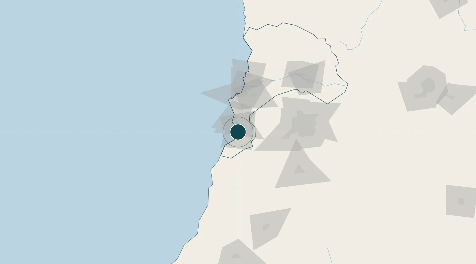
-33.5833°, -71.6167°
23.2 m
Channel depth
2
Container terminals
222.1
Port liner connectivity
Puerto San Antonio is also a UN/LOCODE logistics hub →

Channel & Berth Profile

SEA LEVEL (CD)CHANNEL BEDOil terminal · 9.4 mCargo pier · 11.0 mChannel · 23.2 mAnchorage · 23.2 m
NGA World Port Index

Pilotage, Tugs & Services

Pilotage compulsoryYES
Pilotage availableYES
Pilotage advisableYES
Tug assistanceYES
Potable waterYES
Diesel bunkersYES
MedicalYES
NGA World Port Index

Facilities & Capabilities

Container
Ro-Ro
Liquid bulk
Dry bulk
Oil terminal
Break bulk
Dry dock
RepairsNO
BunkeringYES
Rail linkYES
Dangerous cargo
ISPS security
NGA World Port Index

Harbour Specifications

Harbour size
Small
NGA World Port Index
Harbour type
Coastal (Breakwater)
NGA World Port Index
Shelter
Fair
NGA World Port Index
Water body
South Pacific Ocean
NGA World Port Index
Tidal range
4 m
NGA World Port Index
Overhead limit
No
NGA World Port Index
Pilotage
Yes
NGA World Port Index

Liner Connectivity

222.1
PLSCI

Port Liner Shipping Connectivity Index for Puerto San Antonio, as published by UNCTAD for the latest available quarter. Higher values indicate stronger scheduled liner-shipping integration.

Shown relative to the highest per-port PLSCI in the dataset (1,657.9).

UNCTAD · Port Liner Shipping Connectivity Index

Location

Location of CLSAI
Natural Earth 10m (public domain) · Valparaíso · CLSAI · -33.58, -71.62GoogleOSMYandex

Container Terminals · 2

PUERTO CENTRAL SAN ANTONIO
PCE PUERTO CENTRAL S.A.
STI SAN ANTONIO
STI SAN ANTONIO TERMINAL INTERNACIONAL S.A.
SMDG Terminal Code List

Nearby Logistics Neighbours

Ports
  1. 1Bahia De Valparaiso61 km
  2. 2Bahia Quintero (Ventanas)91 km
  3. 3Lirquen370 km
  4. 4Penco370 km
  5. 5Talcahuano372 km
Nearest neighbours — logibook spatial index (haversine) over the source coordinates
Cities
  1. 1Las Ventanas35 km
  2. 2Valparaiso50 km
  3. 3Quilpué64 km
  4. 4Villa Alemana65 km
  5. 5Viña del Mar67 km
Nearest neighbours — logibook spatial index (haversine) over the source coordinates
Airports
  1. 1Viña del Mar Airport72 km
  2. 2Comodoro Arturo Merino Benítez International Airport80 km
  3. 3La Independencia Airport102 km
  4. 4Panguilemo Airport200 km
  5. 5Governor Francisco Gabrielli International Airport276 km
Nearest neighbours — logibook spatial index (haversine) over the source coordinates
Trade Zones
  1. 1Zona Franca Mendoza Free Trade Zone252 km
  2. 2Zona Franca de San Luis596 km
  3. 3Justo Daract Free Trade Zone596 km
  4. 4Zona Franca Zapala (Zapala Free Trade Zone)604 km
  5. 5Córdoba Free Trade Zone743 km
Nearest neighbours — logibook spatial index (haversine) over the source coordinates
DatabookThe Record of Consolidated Knowledge
Chile beyond logistics?
Browse databook

All Sources

Portsthe NGA World Port Index
Public domain (US gov)
Logistics performanceUNCTAD
CC BY 3.0 IGO
Portsthe SMDG Terminal Code List
UN/LOCODE — free, attribution
AirportsOurAirports
Public domain
LocationsUN/LOCODE
UN/LOCODE — free
Trade Zonesthe World Bank SEZ database
CC BY 4.0
Trade ZonesOpen Zone Map
CC BY
← Chile ports