Transport Functions
Multimodal
Hub Profile
Place type
Populated place
Region
Mendoza
Time zone
America/Argentina/Mendoza
Elevation
769 m
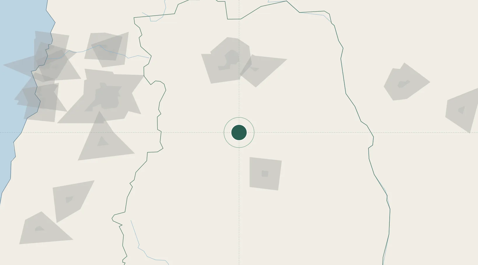
Location
Nearby Logistics Neighbours
Cities
- 1San Carlos39 km
- 2Eugenio Bustos41 km
- 3La Consulta47 km
- 4Tunuyan56 km
- 5Las Paredes69 km
Ports
- 1Puerto San Antonio272 km
- 2Bahia De Valparaiso290 km
- 3Bahia Quintero (Ventanas)295 km
- 4Lirquen491 km
- 5Penco492 km
Airports
Trade Zones
- 1Zona Franca Mendoza Free Trade Zone107 km
- 2Zona Franca de San Luis326 km
- 3Justo Daract Free Trade Zone327 km
- 4General Pico Free Zone488 km
- 5Córdoba Free Trade Zone521 km
DatabookThe Record of Consolidated Knowledge
Argentina beyond logistics?