Transport Functions
Port
Multimodal
Hub Profile
Place type
Provincial seat
Region
Mendoza
Time zone
America/Argentina/Mendoza
Elevation
598 m
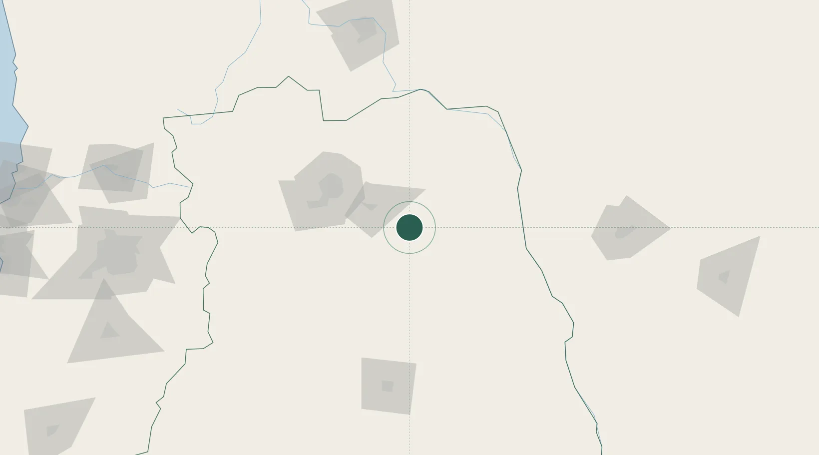
Location
Nearby Logistics Neighbours
Cities
- 1Ingeniero Giagnoni29 km
- 2Rivadavia30 km
- 3Junin33 km
- 4San Martin36 km
- 5La Paz61 km
Ports
- 1Bahia Quintero (Ventanas)320 km
- 2Bahia De Valparaiso324 km
- 3Puerto San Antonio324 km
- 4Coquimbo475 km
- 5Bahia Herradura Guayacan475 km
Airports
Trade Zones
- 1Zona Franca Mendoza Free Trade Zone80 km
- 2Zona Franca de San Luis282 km
- 3Justo Daract Free Trade Zone283 km
- 4Córdoba Free Trade Zone433 km
- 5General Pico Free Zone483 km
DatabookThe Record of Consolidated Knowledge
Argentina beyond logistics?