Transport Functions
Multimodal
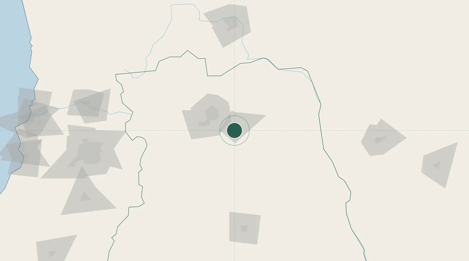
Hub Profile
Place type
Provincial seat
Region
Mendoza
Time zone
America/Argentina/Mendoza
Elevation
660 m
Location
Nearby Logistics Neighbours
Cities
- 1Rivadavia4 km
- 2Ingeniero Giagnoni7 km
- 3San Martin9 km
- 4Coquimbito32 km
- 5Santa Rosa33 km
Ports
- 1Bahia Quintero (Ventanas)288 km
- 2Bahia De Valparaiso292 km
- 3Puerto San Antonio295 km
- 4Coquimbo447 km
- 5Bahia Herradura Guayacan447 km
Airports
Trade Zones
- 1Zona Franca Mendoza Free Trade Zone47 km
- 2Zona Franca de San Luis315 km
- 3Justo Daract Free Trade Zone316 km
- 4Córdoba Free Trade Zone455 km
- 5General Pico Free Zone515 km
DatabookThe Record of Consolidated Knowledge
Argentina beyond logistics?