UN/LOCODE hub · Argentina
ARSMR
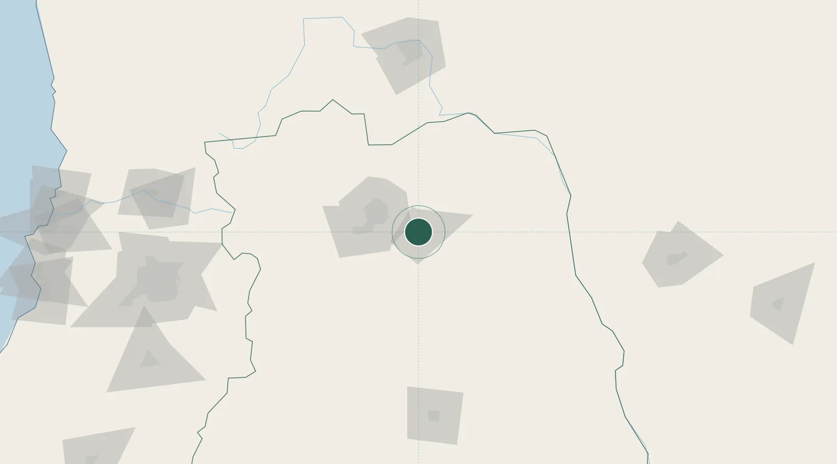
San Martin
-33.0667°, -68.4667°
82,549
Population
2
Transport functions
Transport Functions
Port
Multimodal
Hub Profile
Place type
Provincial seat
Region
Mendoza
Population
82,549
Time zone
America/Argentina/Mendoza
Elevation
656 m
Location
Nearby Logistics Neighbours
Cities
- 1Ingeniero Giagnoni7 km
- 2Junin9 km
- 3Rivadavia13 km
- 4Coquimbito29 km
- 5Maipú32 km
Ports
- 1Bahia Quintero (Ventanas)288 km
- 2Bahia De Valparaiso294 km
- 3Puerto San Antonio298 km
- 4Coquimbo440 km
- 5Bahia Herradura Guayacan441 km
Airports
Trade Zones
- 1Zona Franca Mendoza Free Trade Zone48 km
- 2Zona Franca de San Luis316 km
- 3Justo Daract Free Trade Zone317 km
- 4Córdoba Free Trade Zone450 km
- 5General Pico Free Zone519 km
DatabookThe Record of Consolidated Knowledge
Argentina beyond logistics?