UN/LOCODE hub · Argentina
ARMPU

Maipú

-32.9833°, -68.8000°
2
Transport functions

Transport Functions

Rail
Road
UN/LOCODE

Hub Profile

Place type
Provincial seat
GeoNames
Region
Mendoza
GeoNames
Time zone
America/Argentina/Mendoza
GeoNames
Elevation
801 m
GeoNames

Location

Location of ARMPU
Natural Earth 10m (public domain) · Mendoza · ARMPU · -32.98, -68.80GoogleOSMYandex

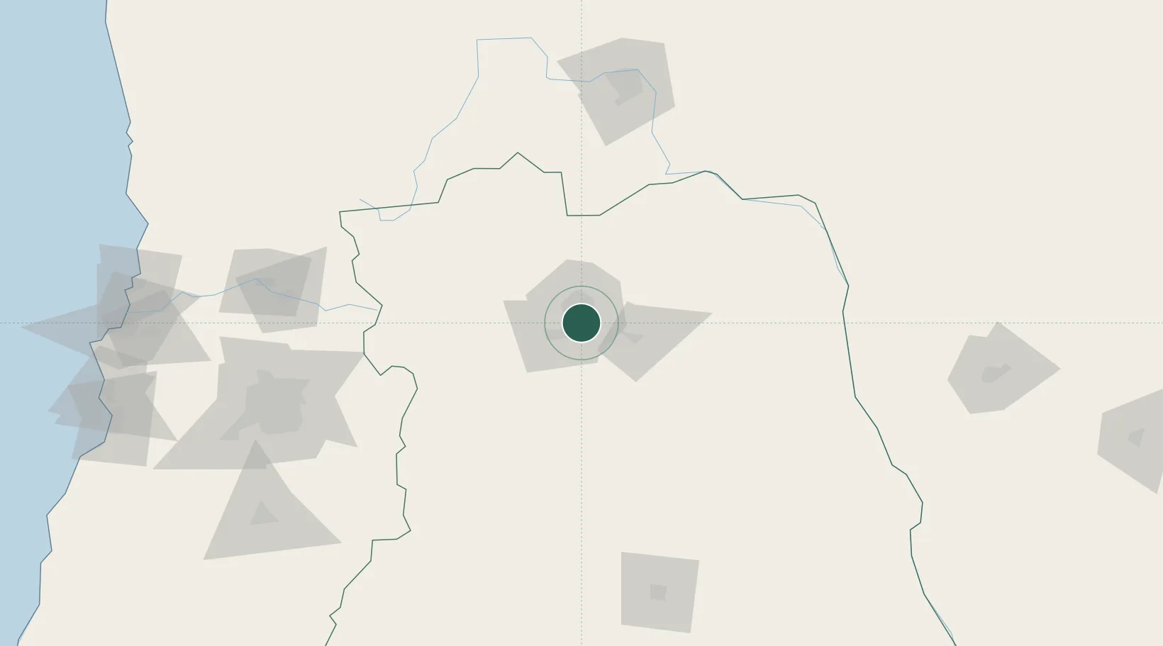
Nearby Logistics Neighbours

Cities
  1. 1Luzuriaga4 km
  2. 2Coquimbito5 km
  3. 3Gobernador Benegas6 km
  4. 4Godoy Cruz6 km
  5. 5Lujan de Cuyo10 km
Nearest neighbours — logibook spatial index (haversine) over the source coordinates
Ports
  1. 1Bahia Quintero (Ventanas)256 km
  2. 2Bahia De Valparaiso263 km
  3. 3Puerto San Antonio270 km
  4. 4Coquimbo414 km
  5. 5Bahia Herradura Guayacan414 km
Nearest neighbours — logibook spatial index (haversine) over the source coordinates
Trade Zones
  1. 1Zona Franca Mendoza Free Trade Zone19 km
  2. 2Zona Franca de San Luis349 km
  3. 3Justo Daract Free Trade Zone349 km
  4. 4Córdoba Free Trade Zone474 km
  5. 5General Pico Free Zone550 km
Nearest neighbours — logibook spatial index (haversine) over the source coordinates
DatabookThe Record of Consolidated Knowledge
Argentina beyond logistics?
Browse databook

All Sources

LocationsUN/LOCODE
UN/LOCODE — free
Portsthe NGA World Port Index
Public domain (US gov)
AirportsOurAirports
Public domain
Trade Zonesthe World Bank SEZ database
CC BY 4.0
Trade ZonesOpen Zone Map
CC BY
← Argentina locations