UN/LOCODE hub · Argentina
ARLCU

Lujan de Cuyo

-33.0500°, -68.8667°
2
Transport functions

Transport Functions

Port
Multimodal
UN/LOCODE

Hub Profile

Place type
Provincial seat
GeoNames
Region
Mendoza
GeoNames
Time zone
America/Argentina/Mendoza
GeoNames
Elevation
942 m
GeoNames

Location

Location of ARLCU
Natural Earth 10m (public domain) · Mendoza · ARLCU · -33.05, -68.87GoogleOSMYandex

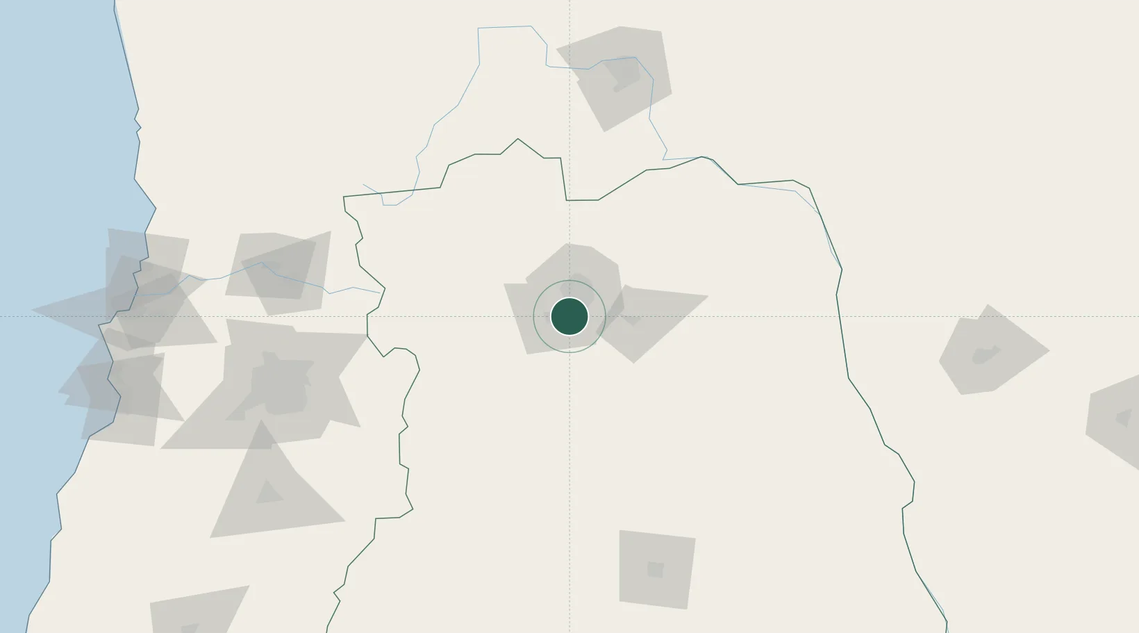
Nearby Logistics Neighbours

Cities
  1. 1Agrelo8 km
  2. 2Maipú10 km
  3. 3Las Compuertas11 km
  4. 4Gobernador Benegas11 km
  5. 5Luzuriaga12 km
Nearest neighbours — logibook spatial index (haversine) over the source coordinates
Ports
  1. 1Bahia Quintero (Ventanas)251 km
  2. 2Bahia De Valparaiso256 km
  3. 3Puerto San Antonio262 km
  4. 4Coquimbo417 km
  5. 5Bahia Herradura Guayacan417 km
Nearest neighbours — logibook spatial index (haversine) over the source coordinates
Trade Zones
  1. 1Zona Franca Mendoza Free Trade Zone10 km
  2. 2Zona Franca de San Luis353 km
  3. 3Justo Daract Free Trade Zone353 km
  4. 4Córdoba Free Trade Zone483 km
  5. 5General Pico Free Zone551 km
Nearest neighbours — logibook spatial index (haversine) over the source coordinates
DatabookThe Record of Consolidated Knowledge
Argentina beyond logistics?
Browse databook

All Sources

LocationsUN/LOCODE
UN/LOCODE — free
Portsthe NGA World Port Index
Public domain (US gov)
AirportsOurAirports
Public domain
Trade Zonesthe World Bank SEZ database
CC BY 4.0
Trade ZonesOpen Zone Map
CC BY
← Argentina locations