UN/LOCODE hub · Argentina
ARLZG

Luzuriaga

-32.9500°, -68.8167°
2
Transport functions

Transport Functions

Port
Multimodal
UN/LOCODE

Hub Profile

Place type
Urban district
GeoNames
Region
Mendoza
GeoNames
Time zone
America/Argentina/Mendoza
GeoNames
Elevation
819 m
GeoNames

Location

Location of ARLZG
Natural Earth 10m (public domain) · Mendoza · ARLZG · -32.95, -68.82GoogleOSMYandex

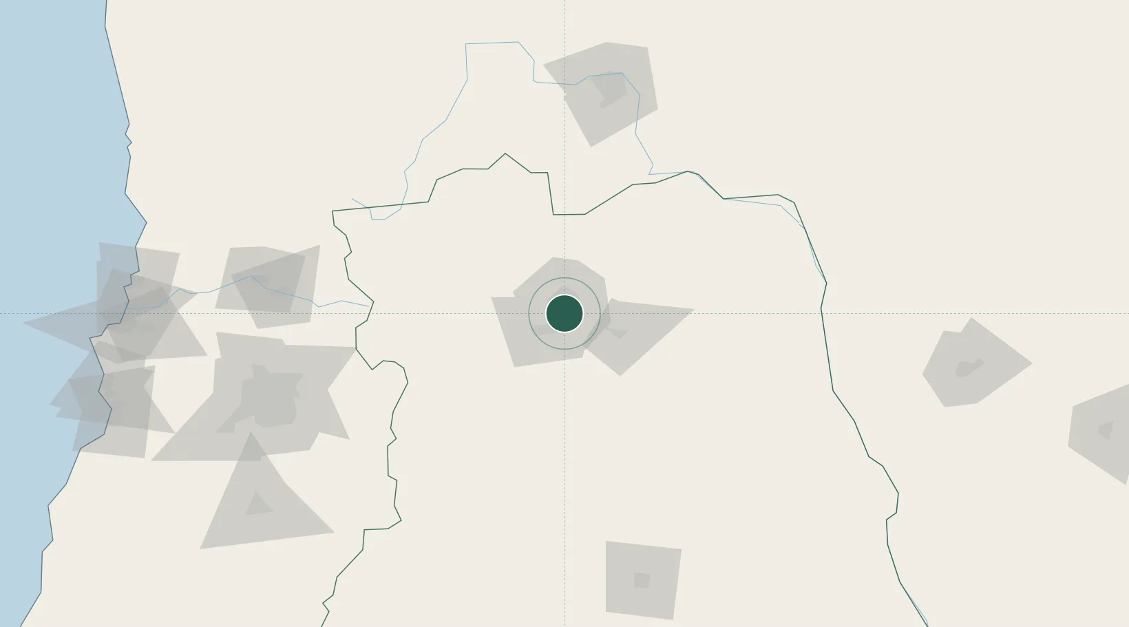
Nearby Logistics Neighbours

Cities
  1. 1Godoy Cruz2 km
  2. 2Gobernador Benegas3 km
  3. 3Maipú4 km
  4. 4Coquimbito7 km
  5. 5Lujan de Cuyo12 km
Nearest neighbours — logibook spatial index (haversine) over the source coordinates
Ports
  1. 1Bahia Quintero (Ventanas)255 km
  2. 2Bahia De Valparaiso261 km
  3. 3Puerto San Antonio270 km
  4. 4Coquimbo410 km
  5. 5Bahia Herradura Guayacan411 km
Nearest neighbours — logibook spatial index (haversine) over the source coordinates
Trade Zones
  1. 1Zona Franca Mendoza Free Trade Zone20 km
  2. 2Zona Franca de San Luis351 km
  3. 3Justo Daract Free Trade Zone352 km
  4. 4Córdoba Free Trade Zone474 km
  5. 5General Pico Free Zone553 km
Nearest neighbours — logibook spatial index (haversine) over the source coordinates
DatabookThe Record of Consolidated Knowledge
Argentina beyond logistics?
Browse databook

All Sources

LocationsUN/LOCODE
UN/LOCODE — free
Portsthe NGA World Port Index
Public domain (US gov)
AirportsOurAirports
Public domain
Trade Zonesthe World Bank SEZ database
CC BY 4.0
Trade ZonesOpen Zone Map
CC BY
← Argentina locations