UN/LOCODE hub · Argentina
ARGNR
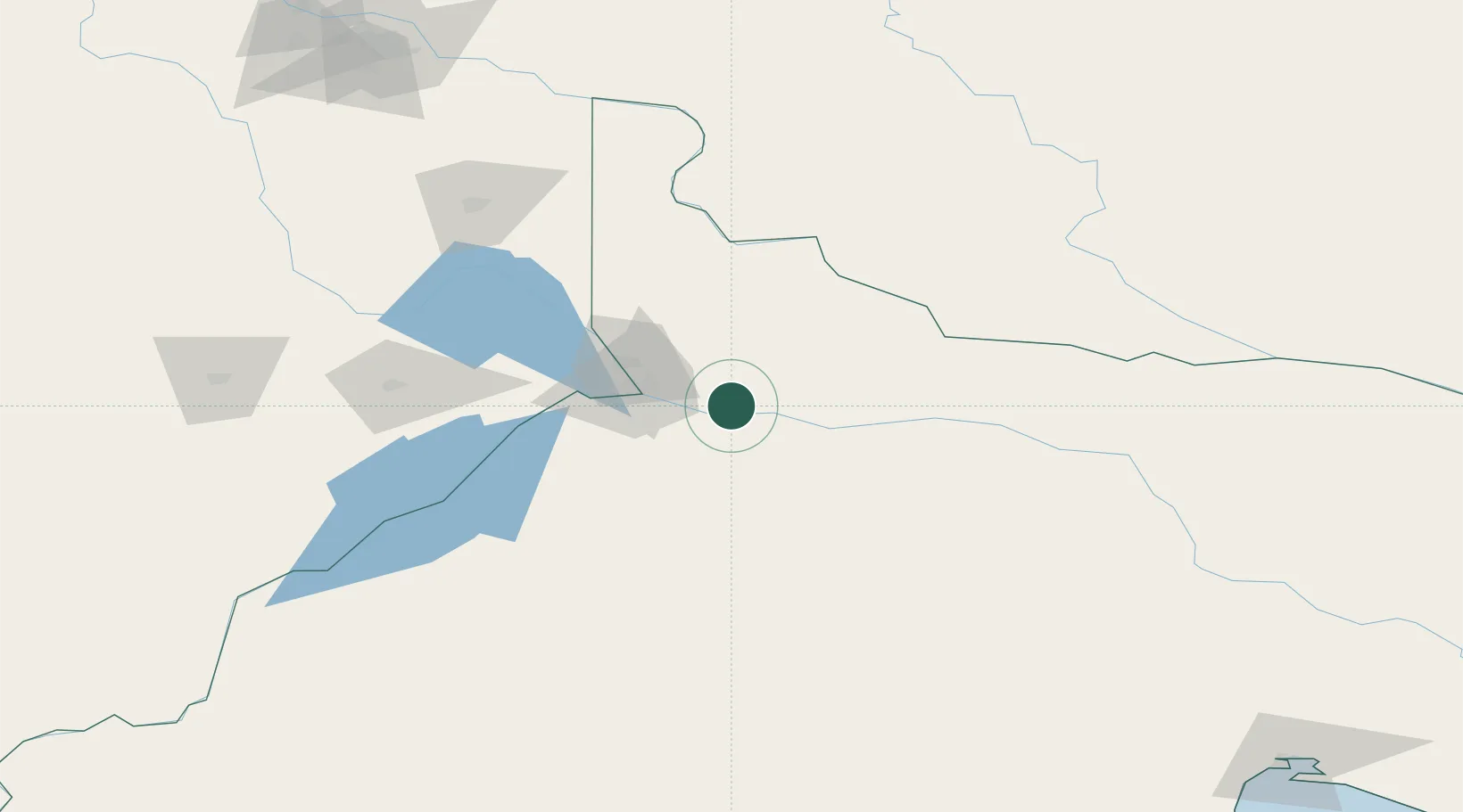
General Roca
-39.0333°, -67.5833°
73,212
Population
3
Transport functions
Transport Functions
Rail
Road
Airport
Hub Profile
Place type
Populated place
Region
Rio Negro
Population
73,212
Time zone
America/Argentina/Salta
Elevation
237 m
Location
Nearby Logistics Neighbours
Cities
- 1Allen21 km
- 2Cipoletti37 km
- 3Villa Regina44 km
- 4Chimpay125 km
- 5Añelo129 km
Ports
- 1Puerto Galvan458 km
- 2Puerto Nacional459 km
- 3Puerto Ingeniero White461 km
- 4Bahia Blanca461 km
- 5Puerto Madryn467 km
Airports
- 1Presidente Perón International Airport50 km
- 2Cutral-Co Airport146 km
- 3Rincon De Los Sauces Airport216 km
- 4Zapala Airport219 km
- 5Antoine de Saint Exupéry Airport289 km
Trade Zones
- 1Zona Franca Zapala (Zapala Free Trade Zone)220 km
- 2Zona Franca Bahía Blanca462 km
- 3General Pico Free Zone502 km
- 4Justo Daract Free Trade Zone616 km
- 5Zona Franca de San Luis617 km
DatabookThe Record of Consolidated Knowledge
Argentina beyond logistics?