Transport Functions
Multimodal
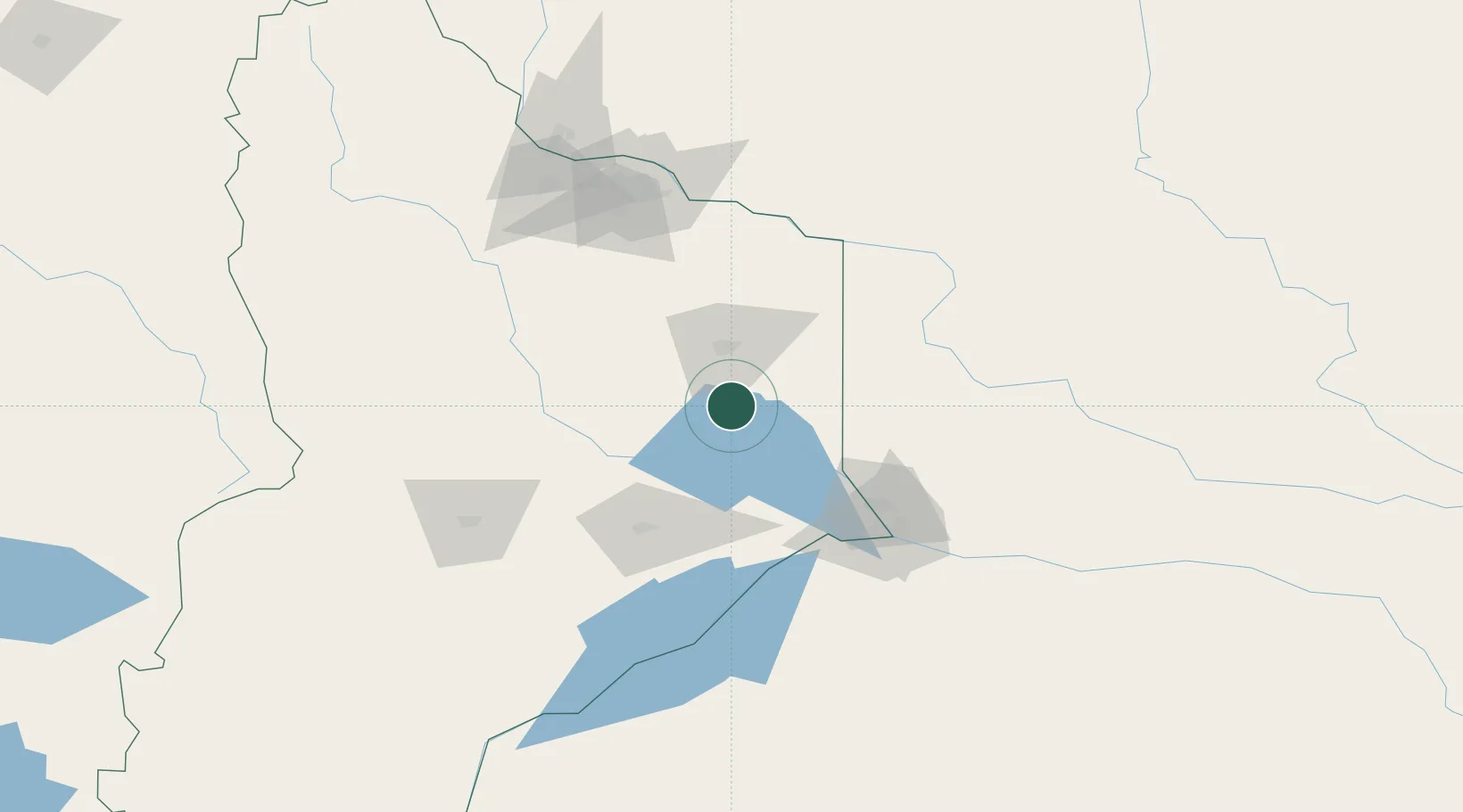
Hub Profile
Place type
Provincial seat
Region
Neuquen
Population
1,742
Time zone
America/Argentina/Salta
Elevation
403 m
Location
Nearby Logistics Neighbours
Cities
- 1Cipoletti94 km
- 2Allen110 km
- 3General Roca129 km
- 4Villa Regina169 km
- 5Chimpay246 km
Ports
- 1Lota408 km
- 2Lirquen412 km
- 3Coronel413 km
- 4Penco414 km
- 5Bahia De Valdivia418 km
Airports
- 1Cutral-Co Airport78 km
- 2Presidente Perón International Airport86 km
- 3Rincon De Los Sauces Airport107 km
- 4Zapala Airport135 km
- 5Aviador C. Campos Airport279 km
Trade Zones
DatabookThe Record of Consolidated Knowledge
Argentina beyond logistics?