Medium airport · Argentina

Cutral-Co AirportSAZW
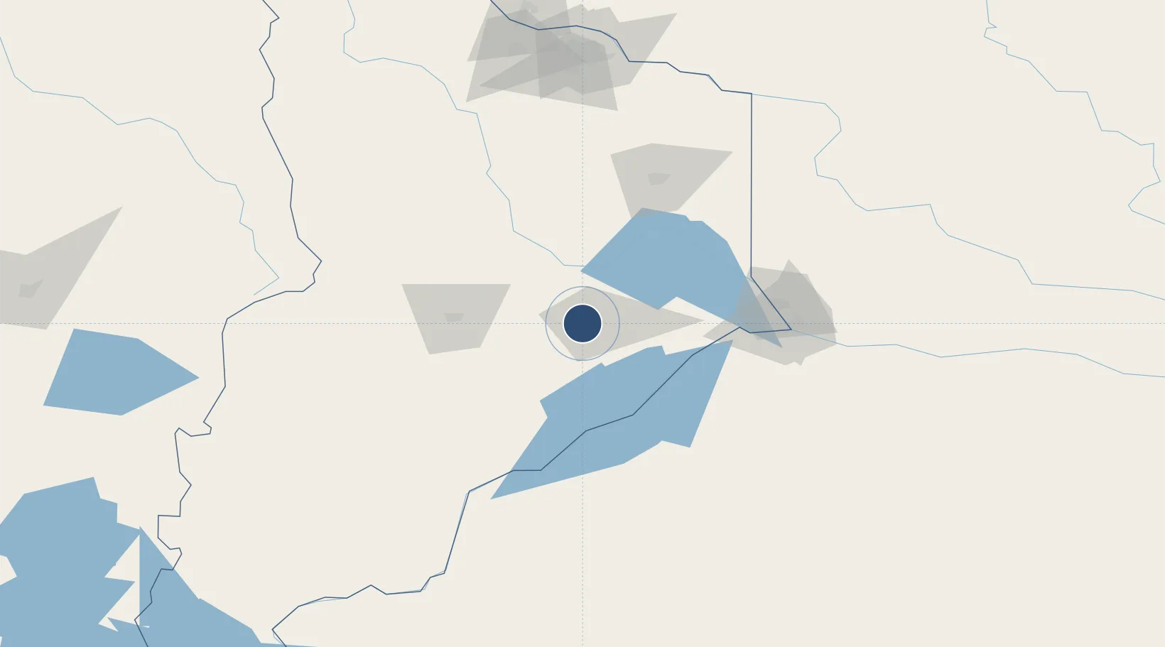
-38.9397°, -69.2646°
5,558 ft
Longest runway
2
Runways
2,132 ft
Elevation

Runway & Layout

Cutral-Co Airport runway & taxiway layout
Runway & taxiway layout — OpenStreetMap (ODbL) / OurAirports

Radio Frequencies

RDO
121.9 MHz
OurAirports

Runways · 2

RunwayDimensions SurfaceTrue headingLit
7/25 5,558 × 98ft Asphalt 083°
3/21 4,052 × 98ft Asphalt 039°
OurAirports

Airport Specifications

IATA code
CUT
OurAirports
ICAO code
SAZW
OurAirports
Airport class
Medium airport
OurAirports
Scheduled service
No
OurAirports
Runway surface
Asphalt
OurAirports
Served city
Cutral-Co
OurAirports

Location

Location of SAZW
Natural Earth 10m (public domain) · Neuquén · SAZW · -38.94, -69.26GoogleOSMYandex

Nearby Logistics Neighbours

Airports
  1. 1Zapala Airport74 km
  2. 2Presidente Perón International Airport96 km
  3. 3Rincon De Los Sauces Airport175 km
  4. 4Aviador C. Campos Airport204 km
  5. 5Pucón Airport232 km
Nearest neighbours — logibook spatial index (haversine) over the source coordinates
Cities
  1. 1Añelo78 km
  2. 2Cipoletti111 km
  3. 3Allen125 km
  4. 4General Roca146 km
  5. 5Villa Regina189 km
Nearest neighbours — logibook spatial index (haversine) over the source coordinates
Ports
  1. 1Bahia De Valdivia356 km
  2. 2Puerto De Corral373 km
  3. 3Lota397 km
  4. 4Coronel402 km
  5. 5Lirquen410 km
Nearest neighbours — logibook spatial index (haversine) over the source coordinates
Trade Zones
  1. 1Zona Franca Zapala (Zapala Free Trade Zone)74 km
  2. 2General Pico Free Zone605 km
  3. 3Zona Franca Bahía Blanca607 km
  4. 4Zona Franca Mendoza Free Trade Zone654 km
  5. 5Justo Daract Free Trade Zone675 km
Nearest neighbours — logibook spatial index (haversine) over the source coordinates
DatabookThe Record of Consolidated Knowledge
Argentina beyond logistics?
Browse databook

All Sources

AirportsOurAirports
Public domain
Portsthe NGA World Port Index
Public domain (US gov)
LocationsUN/LOCODE
UN/LOCODE — free
Trade Zonesthe World Bank SEZ database
CC BY 4.0
Trade ZonesOpen Zone Map
CC BY
InfrastructureOpenStreetMap
ODbL 1.0
← Argentina airports