UN/LOCODE hub · Argentina
ARCPA

Cipoletti

-38.9167°, -67.9833°
2
Transport functions

Transport Functions

Rail
Road
UN/LOCODE

Hub Profile

Region
R
GeoNames

Location

Location of ARCPA
Natural Earth 10m (public domain) · R · ARCPA · -38.92, -67.98GoogleOSMYandex

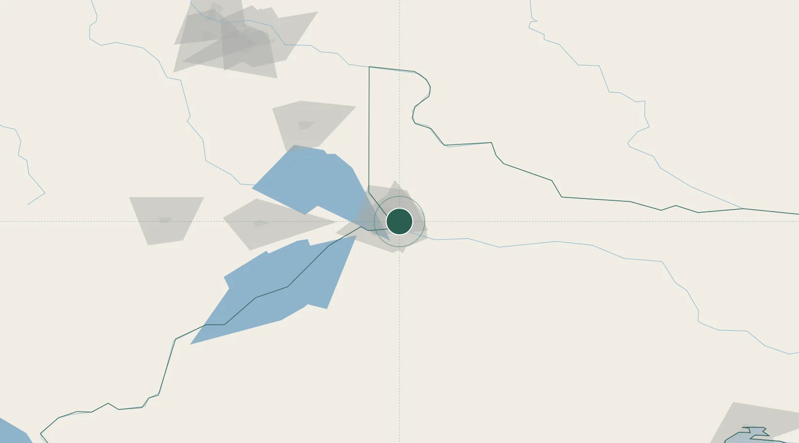
Nearby Logistics Neighbours

Cities
  1. 1Allen16 km
  2. 2General Roca37 km
  3. 3Villa Regina80 km
  4. 4Añelo94 km
  5. 5Chimpay161 km
Nearest neighbours — logibook spatial index (haversine) over the source coordinates
Ports
  1. 1Bahia De Valdivia463 km
  2. 2Puerto De Corral480 km
  3. 3Puerto Galvan492 km
  4. 4Puerto Nacional494 km
  5. 5Puerto Madryn495 km
Nearest neighbours — logibook spatial index (haversine) over the source coordinates
Airports
  1. 1Presidente Perón International Airport15 km
  2. 2Cutral-Co Airport111 km
  3. 3Zapala Airport184 km
  4. 4Rincon De Los Sauces Airport188 km
  5. 5Aviador C. Campos Airport300 km
Nearest neighbours — logibook spatial index (haversine) over the source coordinates
Trade Zones
  1. 1Zona Franca Zapala (Zapala Free Trade Zone)185 km
  2. 2Zona Franca Bahía Blanca496 km
  3. 3General Pico Free Zone517 km
  4. 4Justo Daract Free Trade Zone618 km
  5. 5Zona Franca de San Luis618 km
Nearest neighbours — logibook spatial index (haversine) over the source coordinates
DatabookThe Record of Consolidated Knowledge
Argentina beyond logistics?
Browse databook

All Sources

LocationsUN/LOCODE
UN/LOCODE — free
Portsthe NGA World Port Index
Public domain (US gov)
AirportsOurAirports
Public domain
Trade Zonesthe World Bank SEZ database
CC BY 4.0
Trade ZonesOpen Zone Map
CC BY
← Argentina locations