Transport Functions
Rail
Road
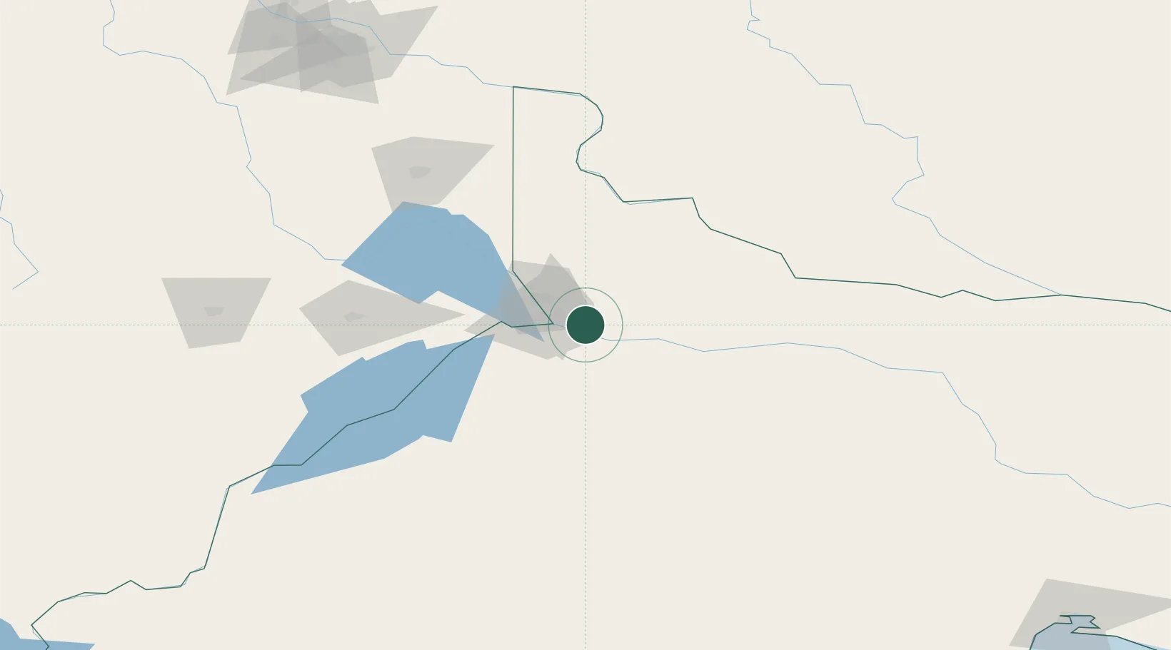
Hub Profile
Place type
Populated place
Region
Rio Negro
Population
26,083
Time zone
America/Argentina/Salta
Elevation
258 m
Location
Nearby Logistics Neighbours
Cities
- 1Cipoletti16 km
- 2General Roca21 km
- 3Villa Regina65 km
- 4Añelo110 km
- 5Chimpay145 km
Ports
- 1Bahia De Valdivia476 km
- 2Puerto Galvan478 km
- 3Puerto Nacional479 km
- 4Puerto Ingeniero White481 km
- 5Bahia Blanca481 km
Airports
- 1Presidente Perón International Airport30 km
- 2Cutral-Co Airport125 km
- 3Zapala Airport199 km
- 4Rincon De Los Sauces Airport201 km
- 5Antoine de Saint Exupéry Airport308 km
Trade Zones
- 1Zona Franca Zapala (Zapala Free Trade Zone)199 km
- 2Zona Franca Bahía Blanca481 km
- 3General Pico Free Zone512 km
- 4Justo Daract Free Trade Zone619 km
- 5Zona Franca de San Luis619 km
DatabookThe Record of Consolidated Knowledge
Argentina beyond logistics?