UN/LOCODE hub · Argentina
ARVRE
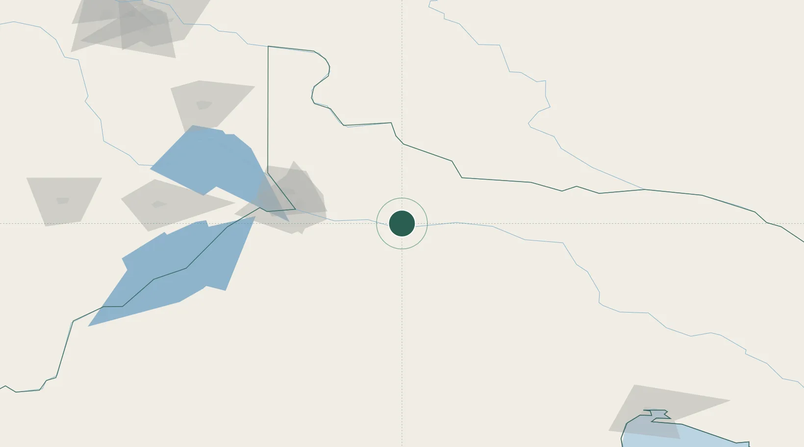
Villa Regina
-39.1000°, -67.0833°
31,209
Population
2
Transport functions
Transport Functions
Rail
Road
Hub Profile
Place type
Populated place
Region
Rio Negro
Population
31,209
Time zone
America/Argentina/Salta
Elevation
197 m
Location
Nearby Logistics Neighbours
Cities
- 1General Roca44 km
- 2Allen65 km
- 3Cipoletti80 km
- 4Chimpay81 km
- 5Puerto Madryn163 km
Ports
- 1Puerto Galvan415 km
- 2Puerto Nacional416 km
- 3Puerto Ingeniero White418 km
- 4Bahia Blanca418 km
- 5Puerto Belgrano431 km
Airports
- 1Presidente Perón International Airport94 km
- 2Cutral-Co Airport189 km
- 3Rincon De Los Sauces Airport248 km
- 4Antoine de Saint Exupéry Airport253 km
- 5Zapala Airport262 km
Trade Zones
- 1Zona Franca Zapala (Zapala Free Trade Zone)263 km
- 2Zona Franca Bahía Blanca419 km
- 3General Pico Free Zone479 km
- 4Justo Daract Free Trade Zone609 km
- 5Zona Franca de San Luis610 km
DatabookThe Record of Consolidated Knowledge
Argentina beyond logistics?