Transport Functions
Multimodal
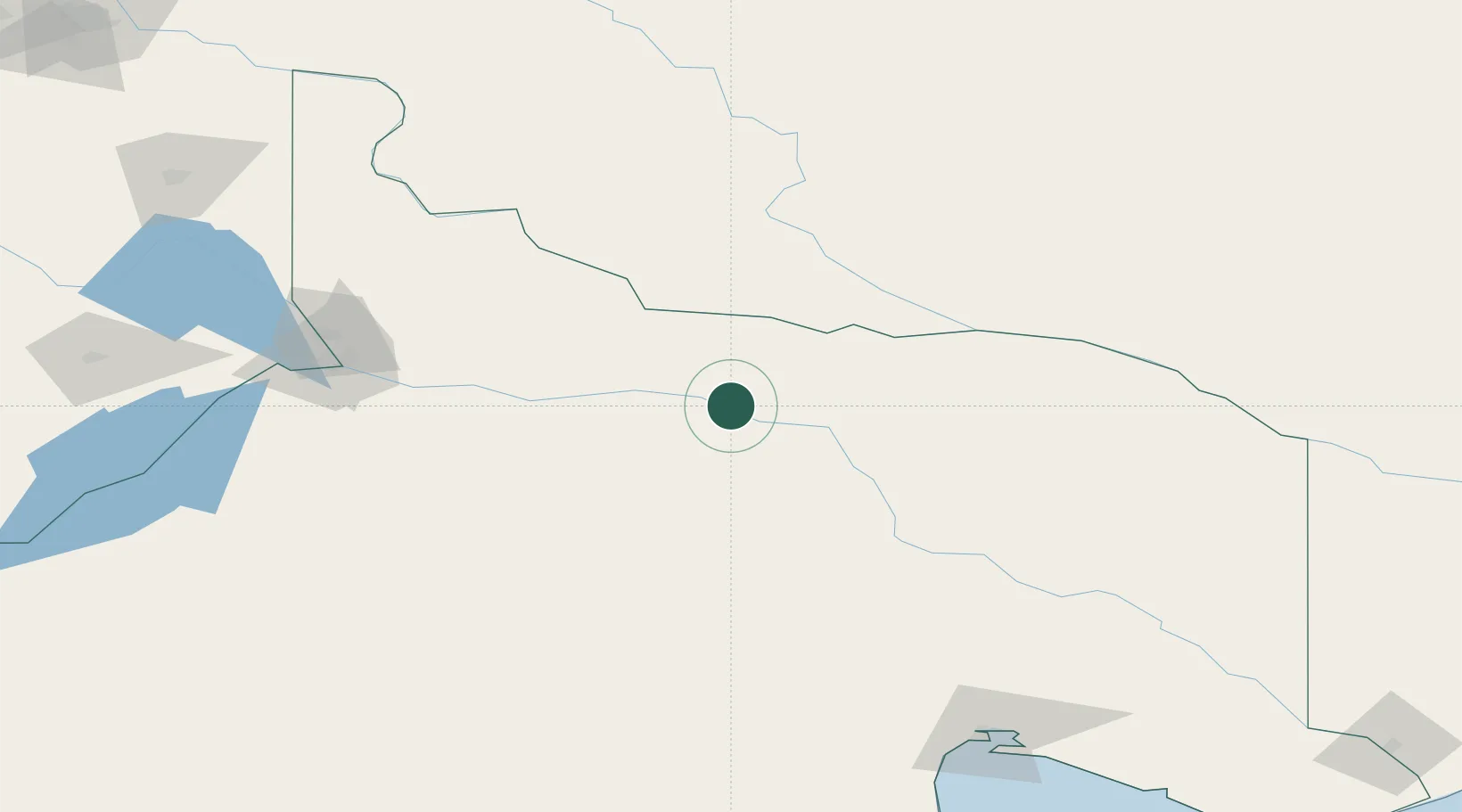
Hub Profile
Place type
Populated place
Region
Rio Negro
Population
3,905
Time zone
America/Argentina/Salta
Elevation
153 m
Location
Nearby Logistics Neighbours
Cities
- 1Villa Regina81 km
- 2General Roca125 km
- 3Puerto Madryn126 km
- 4Allen145 km
- 5Cipoletti161 km
Ports
- 1Puerto Galvan336 km
- 2Puerto Nacional337 km
- 3Puerto Ingeniero White338 km
- 4Bahia Blanca338 km
- 5Puerto Belgrano351 km
Airports
Trade Zones
- 1Zona Franca Bahía Blanca340 km
- 2Zona Franca Zapala (Zapala Free Trade Zone)344 km
- 3General Pico Free Zone440 km
- 4Justo Daract Free Trade Zone599 km
- 5Zona Franca de San Luis599 km
DatabookThe Record of Consolidated Knowledge
Argentina beyond logistics?