Seaport · Argentina
Puerto MadrynARPMY
-42.7667°, -65.0333°
4.9 m
Channel depth
1
Container terminals
13.4
Port liner connectivity
Channel & Berth Profile
Pilotage, Tugs & Services
Pilotage compulsoryYES
Pilotage availableYES
Tug assistanceNO
Salvage tugsNO
Shore powerYES
Potable waterYES
Diesel bunkersYES
MedicalYES
Garbage disposalYES
Facilities & Capabilities
Container—
Ro-Ro—
Liquid bulk—
Dry bulk—
Oil terminal—
Break bulk—
Dry dockNO
RepairsNO
BunkeringYES
Rail link—
Dangerous cargo—
ISPS security—
Harbour Specifications
Harbour size
Small
Harbour type
Coastal (Natural)
Shelter
Excellent
Water body
South Atlantic Ocean
Tidal range
5 m
Pilotage
Yes
Liner Connectivity
13.4
PLSCI
Port Liner Shipping Connectivity Index for Puerto Madryn, as published by UNCTAD for the latest available quarter. Higher values indicate stronger scheduled liner-shipping integration.
Shown relative to the highest per-port PLSCI in the dataset (1,657.9).
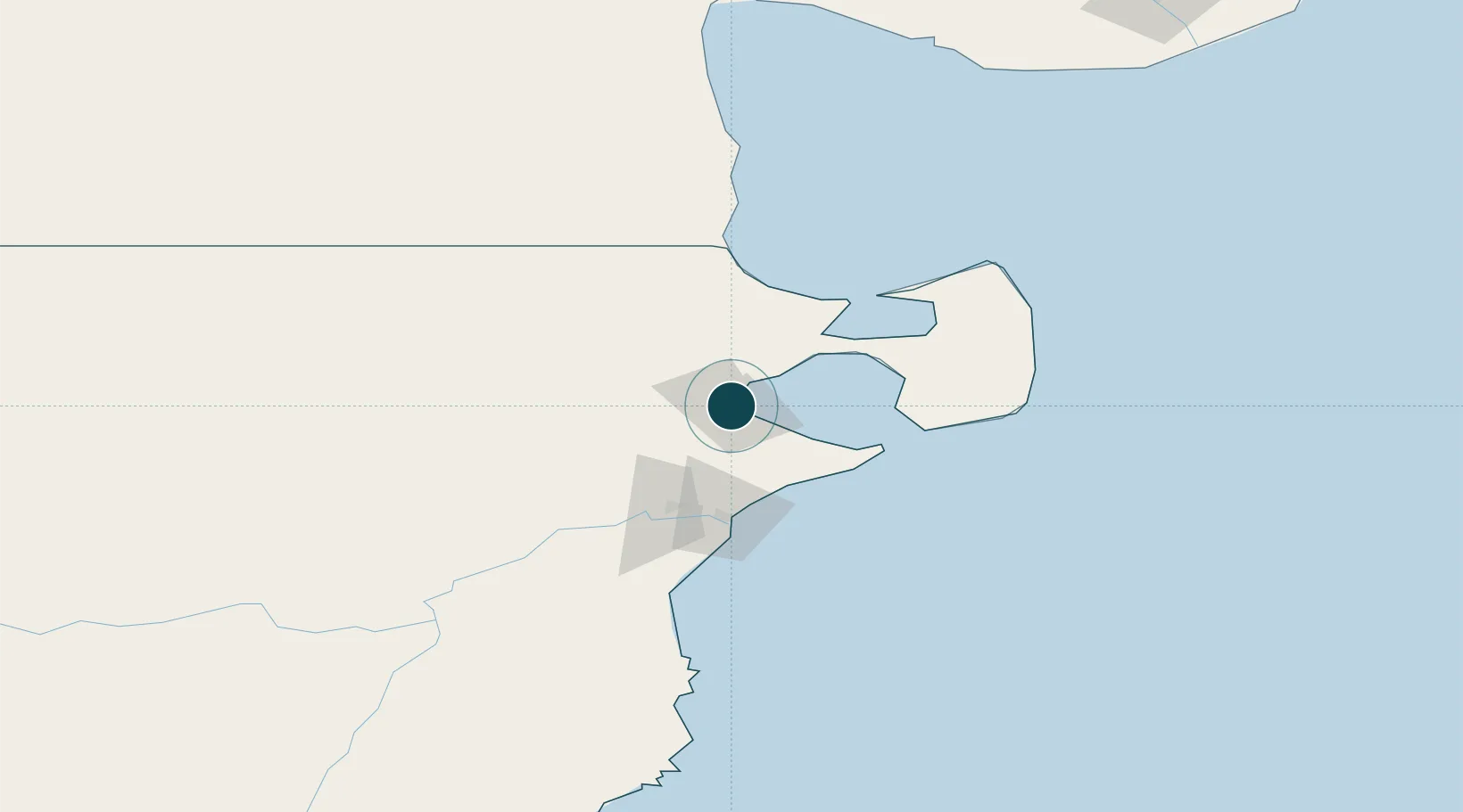
Location
Container Terminals · 1
PUERTO MADRYN
PUPUB PUERTO PUBLICO & LOGINTER
Nearby Logistics Neighbours
Ports
- 1San Blas338 km
- 2Comodoro Rivadavia395 km
- 3Puerto Rosales494 km
- 4Puerto Belgrano497 km
- 5Puerto Nacional498 km
Cities
- 1Rawson60 km
- 2Punta Colorada119 km
- 3San Antonio Este219 km
- 4Caleta Córdoba368 km
- 5Chimpay411 km
Airports
- 1El Tehuelche Airport6 km
- 2Almirante Marco Andres Zar Airport53 km
- 3Antoine de Saint Exupéry Airport224 km
- 4Gan Gan Field268 km
- 5Gobernador Castello Airport270 km
Trade Zones
DatabookThe Record of Consolidated Knowledge
Argentina beyond logistics?