UN/LOCODE hub · Spain
ESPUI

Puigcerdá

42.4333°, 1.9333°
8,845
Population
2
Transport functions

Transport Functions

Rail
Road
UN/LOCODE

Hub Profile

Place type
District seat
GeoNames
Region
Catalonia
GeoNames
Population
8,845
GeoNames
Time zone
Europe/Madrid
GeoNames
Elevation
1,202 m
GeoNames

Location

Location of ESPUI
Natural Earth 10m (public domain) · Catalonia · ESPUI · 42.43, 1.93GoogleOSMYandex

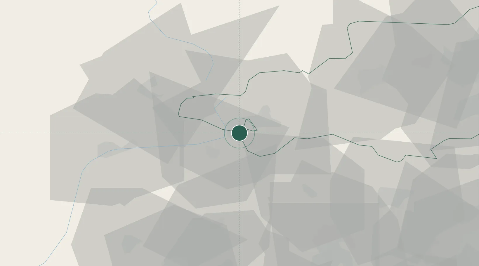
Nearby Logistics Neighbours

Cities
  1. 1Latour-de-Carol5 km
  2. 2La Cabanasse17 km
  3. 3L'Hospitalet-près-l'Andorre22 km
  4. 4Ax-les-Thermes33 km
  5. 5Sant Martí de Surroca33 km
Nearest neighbours — logibook spatial index (haversine) over the source coordinates
Ports
  1. 1Port-Vendres98 km
  2. 2Rosas104 km
  3. 3Port-La-Nouvelle113 km
  4. 4San Feliu De Guixols116 km
  5. 5Palamos118 km
Nearest neighbours — logibook spatial index (haversine) over the source coordinates
Airports
  1. 1Pirineus - la Seu d'Urgel Airport44 km
  2. 2Folgueroles Airfield62 km
  3. 3Perpignan-Rivesaltes (Llabanère) Airport84 km
  4. 4Girona-Costa Brava Airport90 km
  5. 5Carcassonne Salvaza Airport92 km
Nearest neighbours — logibook spatial index (haversine) over the source coordinates
Trade Zones
  1. 1ZFU Perpignan84 km
  2. 2Zona Franca de Barcelona123 km
  3. 3ZFU Toulouse136 km
  4. 4ZFU Béziers145 km
  5. 5Depósito Franco de Tarragona157 km
Nearest neighbours — logibook spatial index (haversine) over the source coordinates
DatabookThe Record of Consolidated Knowledge
Spain beyond logistics?
Browse databook

All Sources

LocationsUN/LOCODE
UN/LOCODE — free
LocationsGeoNames
CC BY 4.0
Portsthe NGA World Port Index
Public domain (US gov)
AirportsOurAirports
Public domain
Trade Zonesthe World Bank SEZ database
CC BY 4.0
Trade ZonesOpen Zone Map
CC BY
← Spain locations