Free Trade Zone · China

Jingning Industrial Park Active
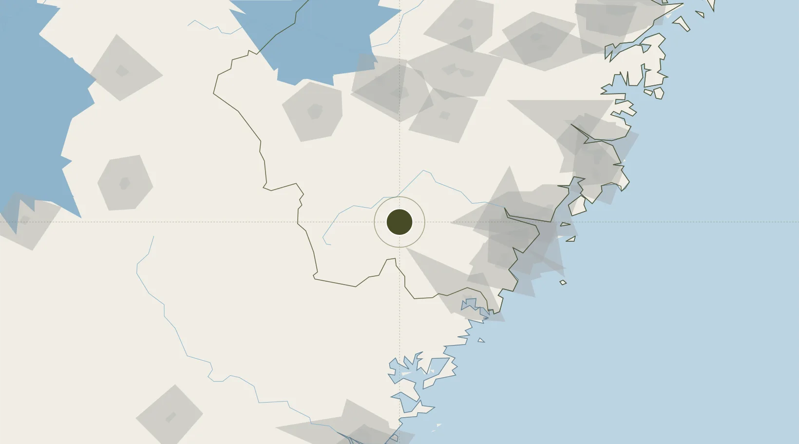
27.9872°, 119.6412°
151 ha
Zone area
99.1 km
Nearest port
119.4 km
Nearest airport

Gateway access

Nearest neighbours — logibook spatial index (haversine) over the source coordinates

Zone profile

Zone type
Free Trade Zone
Open Zone Map
Region
Zhejiang
Open Zone Map
Status
Active
Open Zone Map
Management
Public
Open Zone Map
Operator
Working Committee of Jingning Industrial Park
Open Zone Map
Legal framework
Detailed control planning of Jingning National Industrial Park in Lishui Economic Development Zone
Open Zone Map

Location

Location of ozm-1495
Natural Earth 10m (public domain) · Zhejiang · ozm-1495 · 27.99, 119.64GoogleOSMYandex

Nearby Logistics Neighbours

Ports
  1. 1Wenzhou99 km
  2. 2Haimen193 km
  3. 3Fuzhou214 km
  4. 4Ningbo281 km
  5. 5Zhen Hai296 km
Nearest neighbours — logibook spatial index (haversine) over the source coordinates
Airports
  1. 1Wenzhou Longwan International Airport119 km
  2. 2Quzhou Airport131 km
  3. 3Yiwu Airport155 km
  4. 4Jiande Qiandaohu General Airport159 km
  5. 5Nanping Wuyishan Airport164 km
Nearest neighbours — logibook spatial index (haversine) over the source coordinates
Cities
  1. 1Aojiang Pt91 km
  2. 2Yongjia104 km
  3. 3Binyang107 km
  4. 4Saiqi114 km
  5. 5Wenzhou Pt114 km
Nearest neighbours — logibook spatial index (haversine) over the source coordinates
Trade Zones
  1. 1Lishui Economic and Technological Development Zone55 km
  2. 2Shouning Industrial Park61 km
  3. 3Zherong Economic Development Zone87 km
  4. 4Fuding Industrial Park95 km
  5. 5Songxi Economic Development Zone95 km
Nearest neighbours — logibook spatial index (haversine) over the source coordinates
DatabookThe Record of Consolidated Knowledge
China beyond logistics?
Browse databook

All Sources

Trade ZonesOpen Zone Map
CC BY
Portsthe NGA World Port Index
Public domain (US gov)
AirportsOurAirports
Public domain
LocationsUN/LOCODE
UN/LOCODE — free
← China trade zones