Large airport · China

Ningbo Lishe International AirportZSNB
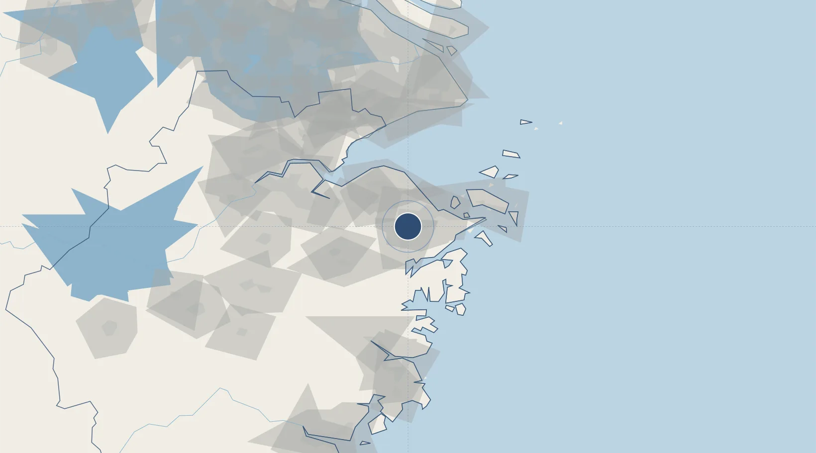
29.8267°, 121.4620°
10,499 ft
Longest runway
1
Runways
13 ft
Elevation

Runway & Layout

Ningbo Lishe International Airport runway & taxiway layout
Runway & taxiway layout — OpenStreetMap (ODbL) / OurAirports

Radio Frequencies

TWR
118.35 MHz
NINGBO TWR
GND
121.85 MHz
NINGBO GND
OurAirports

Navaids

BK NDB Ningbo 227 kHz
NGB VOR-DME Ningbo 116.30 MHz
OurAirports

Runways · 1

RunwayDimensions SurfaceTrue headingLit
13/31 10,499 × 148ft Concrete 123°
OurAirports

Airport Specifications

IATA code
NGB
OurAirports
ICAO code
ZSNB
OurAirports
Airport class
Large airport
OurAirports
Scheduled service
Yes
OurAirports
Runway surface
Concrete
OurAirports
Served city
Ningbo
OurAirports

Location

Location of ZSNB
Natural Earth 10m (public domain) · Zhejiang · ZSNB · 29.83, 121.46GoogleOSMYandex

Nearby Logistics Neighbours

Airports
  1. 1Ningbo Zhuangqiao Air Base15 km
  2. 2Daishan Air Base83 km
  3. 3Zhoushan Putuoshan International Airport88 km
  4. 4Hangzhou Xiaoshan International Airport109 km
  5. 5Jiaxing Nanhu Airport124 km
Nearest neighbours — logibook spatial index (haversine) over the source coordinates
Cities
  1. 1Fenghua21 km
  2. 2Ningbo Pt22 km
  3. 3Huangxian32 km
  4. 4Ningbo36 km
  5. 5Beilun39 km
Nearest neighbours — logibook spatial index (haversine) over the source coordinates
Ports
  1. 1Ningbo11 km
  2. 2Zhen Hai27 km
  3. 3Zhoushan64 km
  4. 4Zhapu92 km
  5. 5Haimen127 km
Nearest neighbours — logibook spatial index (haversine) over the source coordinates
Trade Zones
  1. 1Ningbo Free Trade Zone10 km
  2. 2Ningbo Hi-tech Industrial Development Zone11 km
  3. 3Ningbo Petrochemical Economic and Technological Development Zone38 km
  4. 4Ningbo Meishan Bonded Area44 km
  5. 5Zhoushan Port Free Trade Zone44 km
Nearest neighbours — logibook spatial index (haversine) over the source coordinates
DatabookThe Record of Consolidated Knowledge
China beyond logistics?
Browse databook

All Sources

AirportsOurAirports
Public domain
Portsthe NGA World Port Index
Public domain (US gov)
LocationsUN/LOCODE
UN/LOCODE — free
Trade Zonesthe World Bank SEZ database
CC BY 4.0
Trade ZonesOpen Zone Map
CC BY
InfrastructureOpenStreetMap
ODbL 1.0
← China airports