Transport Functions
Port
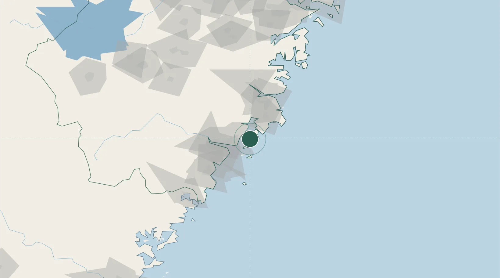
Hub Profile
Place type
Populated place
Region
Zhejiang
Time zone
Asia/Shanghai
Elevation
5 m
Logistics facilities
1
Location
Nearby Logistics Neighbours
Cities
- 1Shanwai6 km
- 2Yuhuan10 km
- 3Zhuangyuanao23 km
- 4Wenzhou35 km
- 5Wenzhou Pt37 km
Airports
- 1Wenzhou Longwan International Airport35 km
- 2Taizhou Luqiao Airport60 km
- 3Yiwu Airport178 km
- 4Ningbo Lishe International Airport196 km
- 5Ningbo Zhuangqiao Air Base209 km
DatabookThe Record of Consolidated Knowledge
China beyond logistics?