Transport Functions
Port
Hub Profile
Region
ZJ
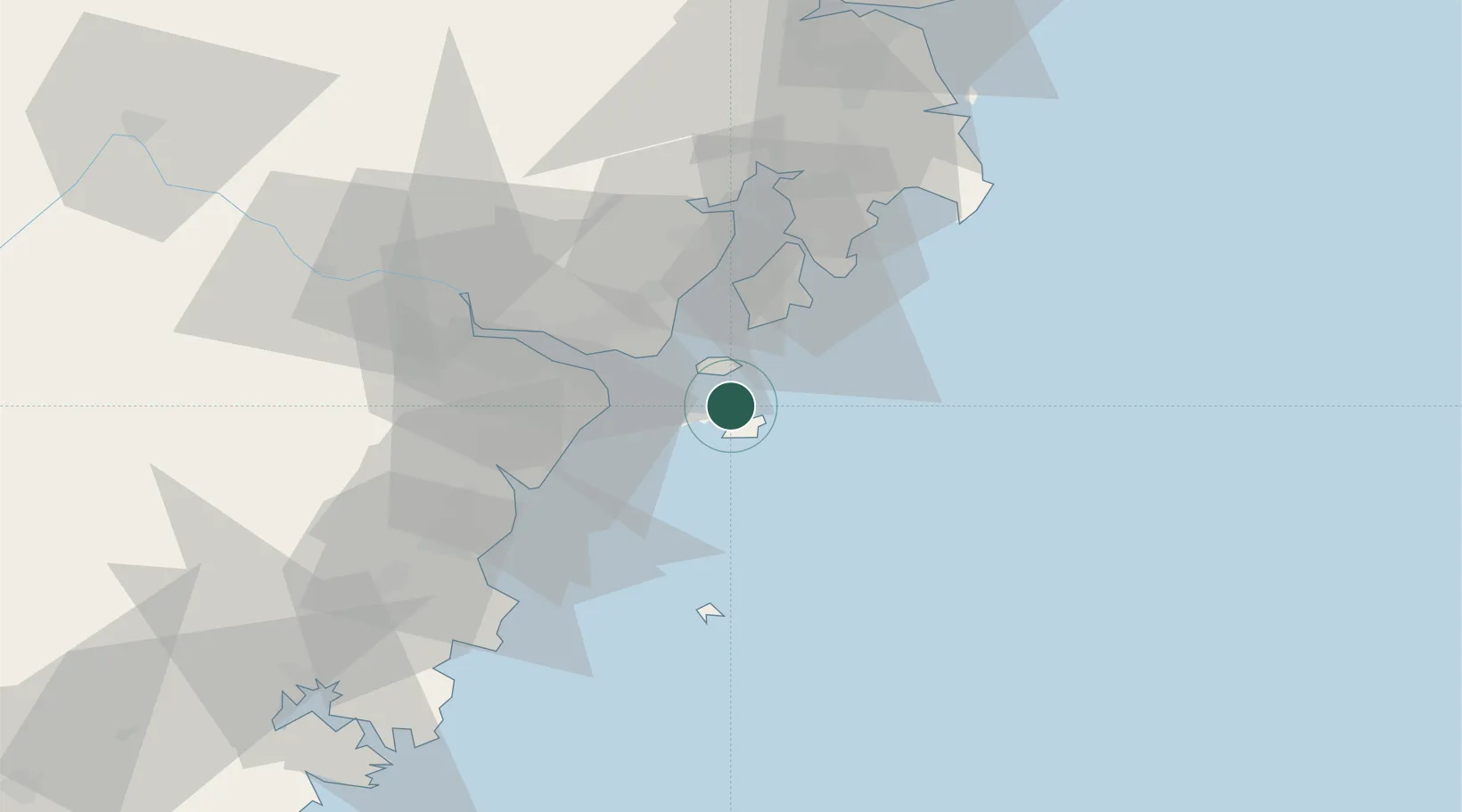
Location
Nearby Logistics Neighbours
Cities
- 1Shanwai20 km
- 2Damaiyu23 km
- 3Wenzhou27 km
- 4Yuhuan30 km
- 5Wenzhou Pt32 km
Airports
- 1Wenzhou Longwan International Airport26 km
- 2Taizhou Luqiao Airport82 km
- 3Yiwu Airport194 km
- 4Matsu Beigan Airport215 km
- 5Ningbo Lishe International Airport219 km
DatabookThe Record of Consolidated Knowledge
China beyond logistics?