Export Processing Zone · China

Xiang Yang High-Tech Industrial Development Zone Active
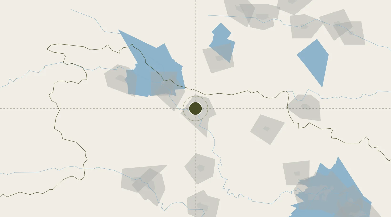
32.1050°, 112.1096°
8,000 ha
Zone area
266.9 km
Nearest port
17.9 km
Nearest airport

Gateway access

Nearest neighbours — logibook spatial index (haversine) over the source coordinates

Zone profile

Zone type
Export Processing Zone
Open Zone Map
Region
Hubei
Open Zone Map
Status
Active
Open Zone Map
Management
Public
Open Zone Map
Operator
Working Committee of Shiyan Xicheng Economic Development Zone
Open Zone Map
Legal framework
Detailed Control Planning of TS04 Area of Xiangyang High-tech Industrial Development Zone
Open Zone Map

Location

Location of ozm-1450
Natural Earth 10m (public domain) · Hubei · ozm-1450 · 32.11, 112.11GoogleOSMYandex

Nearby Logistics Neighbours

Ports
  1. 1Hankow267 km
  2. 2Nanjing625 km
  3. 3Yangzhou689 km
  4. 4Zhenjiang689 km
  5. 5Gaogang729 km
Nearest neighbours — logibook spatial index (haversine) over the source coordinates
Airports
  1. 1Xiangyang Liuji Airport18 km
  2. 2Guangzhou MR Air Base / Guanghua Airport50 km
  3. 3Nanyang Jiangying Airport109 km
  4. 4Shiyan Wudangshan Airport125 km
  5. 5Dangyang Air Base148 km
Nearest neighbours — logibook spatial index (haversine) over the source coordinates
Cities
  1. 1Xiangfan8 km
  2. 2Nanyang107 km
  3. 3Shiyan139 km
  4. 4Xinyang183 km
  5. 5Baiyang194 km
Nearest neighbours — logibook spatial index (haversine) over the source coordinates
Trade Zones
  1. 1Baokang Economic Development Zone11 km
  2. 2Xiangcheng Economic Development Zone23 km
  3. 3Laohekou Economic Development Zone48 km
  4. 4Yicheng Economic Development Zone49 km
  5. 5Gucheng Economic Development Zone52 km
Nearest neighbours — logibook spatial index (haversine) over the source coordinates
DatabookThe Record of Consolidated Knowledge
China beyond logistics?
Browse databook

All Sources

Trade ZonesOpen Zone Map
CC BY
Portsthe NGA World Port Index
Public domain (US gov)
AirportsOurAirports
Public domain
LocationsUN/LOCODE
UN/LOCODE — free
← China trade zones