Medium airport · Norfolk Island
Norfolk Island International AirportYSNF
-29.0418°, 167.9395°
6,398 ft
Longest runway
2
Runways
371 ft
Elevation
Runway & Layout

Radio Frequencies
CTAF
118.1 MHz
FSS
346.7 MHz
AUCKLAND RDO
Navaids
NF VOR-DME Norfolk Island 112.40 MHz
NF NDB Norfolk Island 260 kHz
Runways · 2
| Runway | Dimensions | Surface | True heading | Lit |
|---|---|---|---|---|
| 11/29 | 6,398 × 150ft | Asphalt | 122° | ✓ |
| 04/22 | 4,708 × 98ft | Asphalt | 050° | ✓ |
Airport Specifications
IATA code
NLK
ICAO code
YSNF
Airport class
Medium airport
Scheduled service
Yes
Runway surface
Asphalt
Served city
Burnt Pine
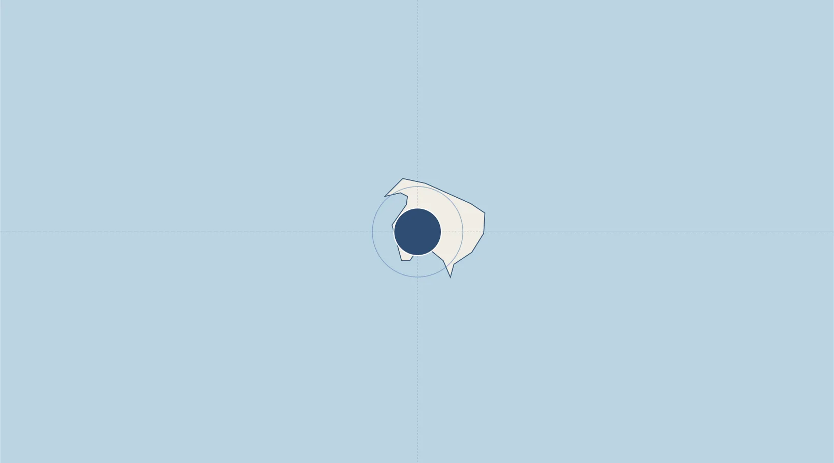
Location
Nearby Logistics Neighbours
Airports
- 1Île des Pins Airport719 km
- 2Nouméa Magenta Airport769 km
- 3La Tontouta International Airport800 km
- 4Kaitaia Airport838 km
- 5Maré Airport841 km
Cities
- 1Prony756 km
- 2Le Mont-Dore764 km
- 3Nouméa768 km
- 4Ducos772 km
- 5Maré839 km
Ports
- 1Noumea767 km
- 2Whangaroa865 km
- 3Baie De Kouaoua878 km
- 4Opua908 km
- 5Baie Ugue910 km
Trade Zones
- 1Hicks Bay Area Special Economic Zone1341 km
- 2Vanuatu Economic Development Zone1507 km
- 3Lautoka Special Zone1596 km
- 4Rotuma-Kadavu Tax-Free Region1614 km
- 5Kalabu Tax Free Zone1622 km
DatabookThe Record of Consolidated Knowledge
Norfolk Island beyond logistics?