UN/LOCODE hub · India
INSWA

Sahnewal

30.8289°, 75.9867°
2
Transport functions

Transport Functions

Port
Multimodal
UN/LOCODE

Hub Profile

Region
PB
GeoNames
Logistics facilities
1
UN/LOCODE

Location

Location of INSWA
Natural Earth 10m (public domain) · PB · INSWA · 30.83, 75.99GoogleOSMYandex

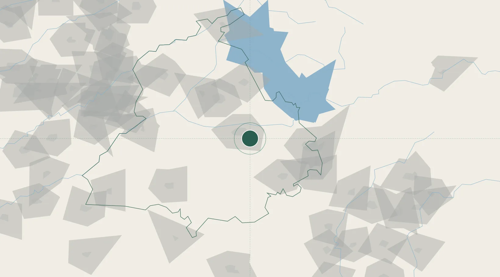
Nearby Logistics Neighbours

Cities
  1. 1Kanech ICD/Sahnewal2 km
  2. 2GRFL ICD/Sahnwewal4 km
  3. 3Ludhiana6 km
  4. 4PSWC ICD/Dhandari Kalan12 km
  5. 5Adani Icd/Kila Raipur16 km
Nearest neighbours — logibook spatial index (haversine) over the source coordinates
Ports
  1. 1Navlakhi1033 km
  2. 2Kandla1038 km
  3. 3Dahej1072 km
  4. 4Bhavnagar1075 km
  5. 5Muhamamad Bin Qasim1084 km
Nearest neighbours — logibook spatial index (haversine) over the source coordinates
Airports
  1. 1Ludhiana Airport4 km
  2. 2Halwara International Airport35 km
  3. 3Adampur Airport71 km
  4. 4Shaheed Bhagat Singh International Airport79 km
  5. 5Ambala Air Force Station95 km
Nearest neighbours — logibook spatial index (haversine) over the source coordinates
Trade Zones
  1. 1Quarkcity India Pvt. Ltd.69 km
  2. 2Rajeev Gandhi Technology Park, Phase-2, Chandigarh81 km
  3. 3Rajiv Gandhi Technology Park, Phase-1 Chandigarh81 km
  4. 4Rachna Industrial Park198 km
  5. 5Gujranwala Export Processing Zone238 km
Nearest neighbours — logibook spatial index (haversine) over the source coordinates
DatabookThe Record of Consolidated Knowledge
India beyond logistics?
Browse databook

All Sources

LocationsUN/LOCODE
UN/LOCODE — free
Portsthe NGA World Port Index
Public domain (US gov)
AirportsOurAirports
Public domain
Trade Zonesthe World Bank SEZ database
CC BY 4.0
Trade ZonesOpen Zone Map
CC BY
← India locations