Transport Functions
Rail
Road
Hub Profile
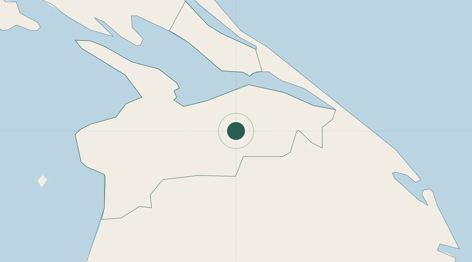
Place type
Populated place
Region
Northern Province
Population
13,006
Time zone
Asia/Colombo
Elevation
24 m
Location
Nearby Logistics Neighbours
Cities
- 1Gampola152 km
- 2Puttalam165 km
- 3Nagappattinam167 km
- 4Karaikal171 km
- 5Fllpl-SEZ/Thirruvallur173 km
Ports
- 1Kankesanturai60 km
- 2Trincomalee Harbor130 km
- 3Nagappattinam164 km
- 4Karaikal Port170 km
- 5Tuticorin254 km
Airports
- 1Iranamadu Airport14 km
- 2Jaffna International Airport57 km
- 3Anuradhapura Airport122 km
- 4China Bay Airport129 km
- 5Hingurakgoda Air Force Base163 km
Trade Zones
DatabookThe Record of Consolidated Knowledge
Sri Lanka beyond logistics?