Medium airport · Georgia

Gudauta Air BaseUG0U
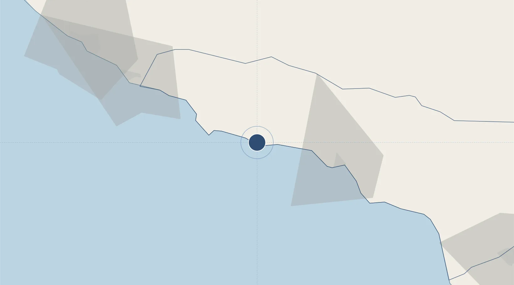
43.1040°, 40.5793°
9,802 ft
Longest runway
1
Runways
79 ft
Elevation

Runway & Layout

Gudauta Air Base runway & taxiway layout
Runway & taxiway layout — OpenStreetMap (ODbL) / OurAirports

Runways · 1

RunwayDimensions SurfaceTrue headingLit
15/33 9,802 × 164ft Concrete 151°
OurAirports

Airport Specifications

ICAO code
UGSG
OurAirports
Airport class
Medium airport
OurAirports
Scheduled service
No
OurAirports
Runway surface
Concrete
OurAirports
Served city
Gudauta
OurAirports

Location

Location of UG0U
Natural Earth 10m (public domain) · Abkhazia · UG0U · 43.10, 40.58GoogleOSMYandex

Nearby Logistics Neighbours

Airports
  1. 1Vladislav Ardzinba Sukhum International Airport52 km
  2. 2Sochi International Airport63 km
  3. 3Senaki Air Base154 km
  4. 4Ozurgeti Air Base168 km
  5. 5Mestia Queen Tamar Airport176 km
Nearest neighbours — logibook spatial index (haversine) over the source coordinates
Cities
  1. 1Sukhumi36 km
  2. 2Sochi88 km
  3. 3Anaklia113 km
  4. 4Zugdidi125 km
  5. 5Kulevi127 km
Nearest neighbours — logibook spatial index (haversine) over the source coordinates
Ports
  1. 1Sokhumi36 km
  2. 2Sochi87 km
  3. 3Supsa Marine Terminal145 km
  4. 4Tuapse165 km
  5. 5Batumi184 km
Nearest neighbours — logibook spatial index (haversine) over the source coordinates
Trade Zones
  1. 1Kulevi Free Industrial Zone127 km
  2. 2Poti Free Industrial Zone135 km
  3. 3Kutaisi Free Industrial Zone - Fresh Georgia, LLC.191 km
  4. 4Kutaisi Free Industrial Zone (Hualing)192 km
  5. 5Trabzon Free Zone243 km
Nearest neighbours — logibook spatial index (haversine) over the source coordinates
DatabookThe Record of Consolidated Knowledge
Georgia beyond logistics?
Browse databook

All Sources

AirportsOurAirports
Public domain
Portsthe NGA World Port Index
Public domain (US gov)
LocationsUN/LOCODE
UN/LOCODE — free
Trade Zonesthe World Bank SEZ database
CC BY 4.0
Trade ZonesOpen Zone Map
CC BY
InfrastructureOpenStreetMap
ODbL 1.0
← Georgia airports