Transport Functions
Port
Rail
Road
Airport
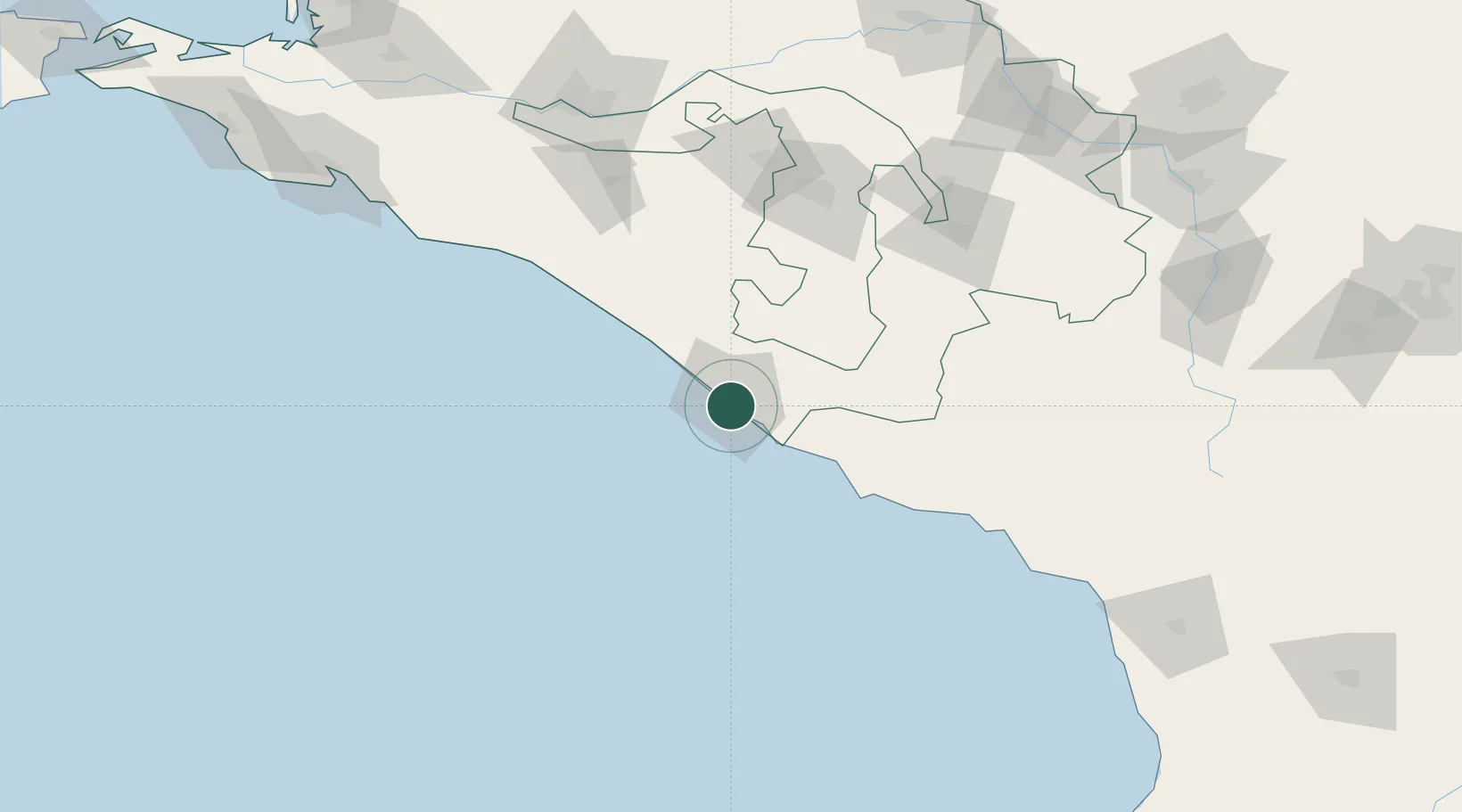
Hub Profile
Place type
Provincial seat
Region
Krasnodar Krai
Population
327,608
Time zone
Europe/Moscow
Elevation
28 m
Logistics facilities
1
Location
Nearby Logistics Neighbours
Cities
- 1Apsheronsk96 km
- 2Maykop117 km
- 3Sukhumi123 km
- 4Belorechensk132 km
- 5Labinsk142 km
Ports
- 1Tuapse78 km
- 2Sokhumi122 km
- 3Gelendzhik170 km
- 4Novorossiysk199 km
- 5Supsa Marine Terminal232 km
Airports
Trade Zones
DatabookThe Record of Consolidated Knowledge
Russia beyond logistics?