UN/LOCODE hub · Georgia
GEABK

Sukhumi

43.0000°, 41.0000°
2
Transport functions

Transport Functions

Port
Road
Sukhumi is also a profiled seaport →
UN/LOCODE

Hub Profile

Region
AB
GeoNames

Location

Location of GEABK
Natural Earth 10m (public domain) · AB · GEABK · 43.00, 41.00GoogleOSMYandex

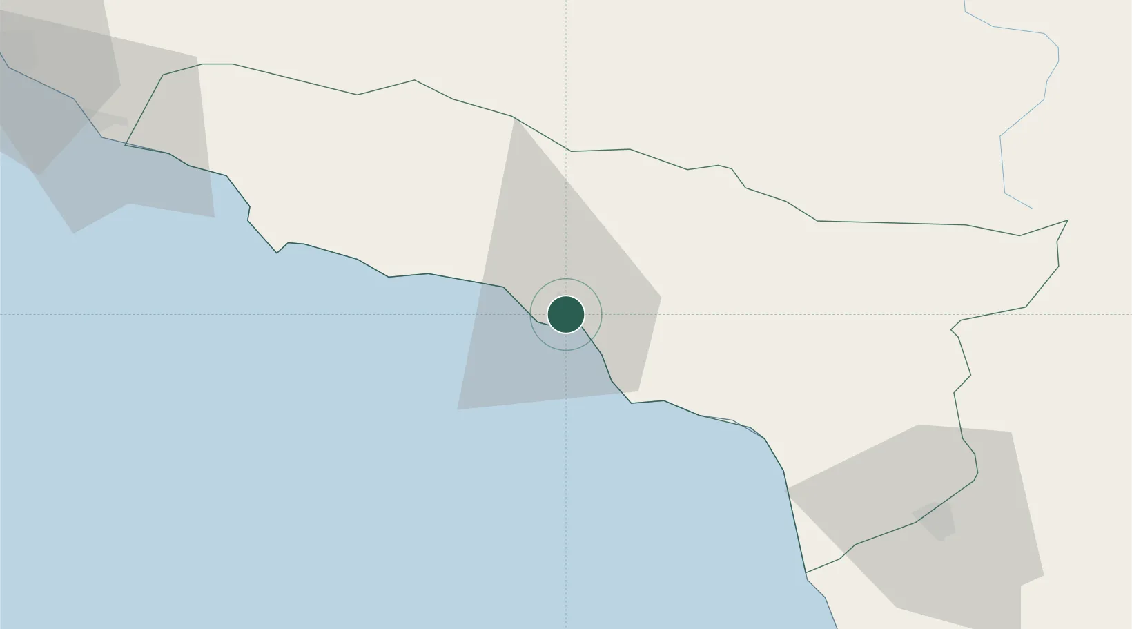
Nearby Logistics Neighbours

Cities
  1. 1Anaklia82 km
  2. 2Zugdidi90 km
  3. 3Kulevi97 km
  4. 4Poti108 km
  5. 5Tsalenjikha119 km
Nearest neighbours — logibook spatial index (haversine) over the source coordinates
Ports
  1. 1Supsa Marine Terminal116 km
  2. 2Sochi121 km
  3. 3Batumi159 km
  4. 4Hopa179 km
  5. 5Tuapse198 km
Nearest neighbours — logibook spatial index (haversine) over the source coordinates
Airports
  1. 1Vladislav Ardzinba Sukhum International Airport19 km
  2. 2Gudauta Air Base36 km
  3. 3Sochi International Airport98 km
  4. 4Senaki Air Base120 km
  5. 5Ozurgeti Air Base139 km
Nearest neighbours — logibook spatial index (haversine) over the source coordinates
Trade Zones
  1. 1Kulevi Free Industrial Zone97 km
  2. 2Poti Free Industrial Zone106 km
  3. 3Kutaisi Free Industrial Zone - Fresh Georgia, LLC.156 km
  4. 4Kutaisi Free Industrial Zone (Hualing)156 km
  5. 5Trabzon Free Zone245 km
Nearest neighbours — logibook spatial index (haversine) over the source coordinates
DatabookThe Record of Consolidated Knowledge
Georgia beyond logistics?
Browse databook

All Sources

LocationsUN/LOCODE
UN/LOCODE — free
Portsthe NGA World Port Index
Public domain (US gov)
AirportsOurAirports
Public domain
Trade Zonesthe World Bank SEZ database
CC BY 4.0
Trade ZonesOpen Zone Map
CC BY
← Georgia locations