Codrington AirportTAPH
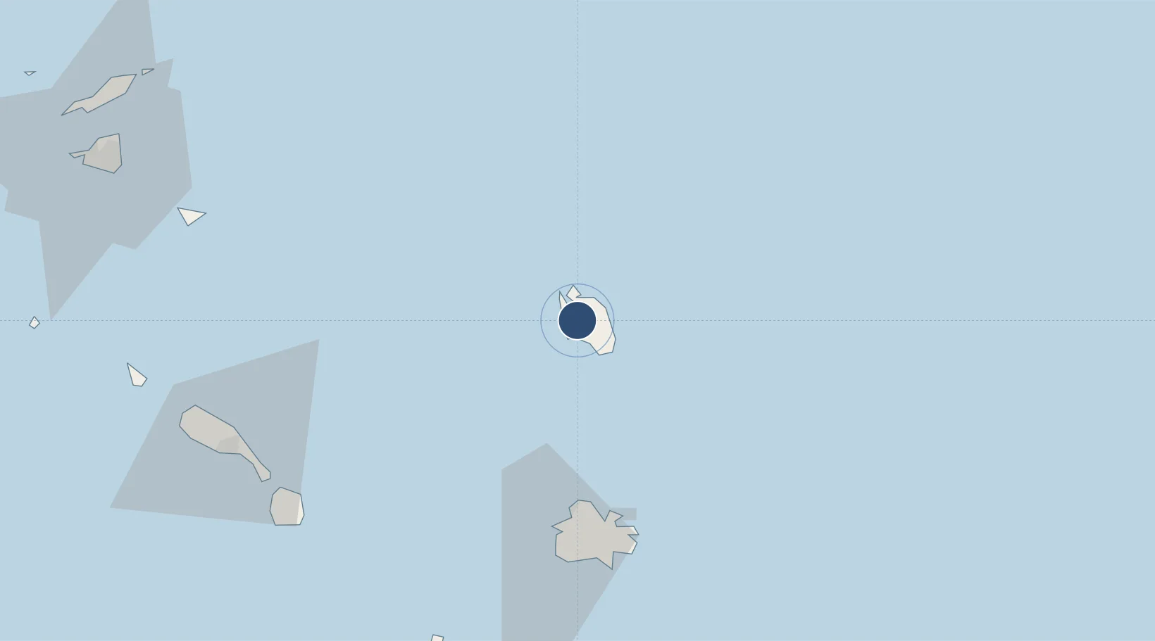
17.6361°, -61.8272°
1,640 ft
Longest runway
1
Runways
15 ft
Elevation

Runway & Layout

Codrington Airport runway & taxiway layout
Runway & taxiway layout — OpenStreetMap (ODbL) / OurAirports

Runways · 1

RunwayDimensions SurfaceTrue headingLit
10/28 1,640 × —ft
OurAirports

Airport Specifications

Airport class
Closed
OurAirports
Scheduled service
Yes
OurAirports
Served city
Codrington
OurAirports

Location

Location of TAPH
Natural Earth 10m (public domain) · Barbuda · TAPH · 17.64, -61.83GoogleOSMYandex

Nearby Logistics Neighbours

Airports
  1. 1Burton-Nibbs International Airport4 km
  2. 2V. C. Bird International Airport56 km
  3. 3Vance W. Amory International Airport94 km
  4. 4Robert L. Bradshaw International Airport101 km
  5. 5John A. Osborne Airport102 km
Nearest neighbours — logibook spatial index (haversine) over the source coordinates
Cities
  1. 1Saint John's58 km
  2. 2Parham62 km
  3. 3Falmouth69 km
  4. 4Nevis97 km
  5. 5Little Bay101 km
Nearest neighbours — logibook spatial index (haversine) over the source coordinates
Ports
  1. 1St Johns58 km
  2. 2Basseterre102 km
  3. 3Charlestown102 km
  4. 4Gustavia112 km
  5. 5Oranjestad124 km
Nearest neighbours — logibook spatial index (haversine) over the source coordinates
DatabookThe Record of Consolidated Knowledge
Antigua & Barbuda beyond logistics?
Browse databook

All Sources

AirportsOurAirports
Public domain
Portsthe NGA World Port Index
Public domain (US gov)
LocationsUN/LOCODE
UN/LOCODE — free
Trade Zonesthe World Bank SEZ database
CC BY 4.0
Trade ZonesOpen Zone Map
CC BY
InfrastructureOpenStreetMap
ODbL 1.0
← Antigua & Barbuda airports