UN/LOCODE hub · Antigua & Barbuda
AGPHM
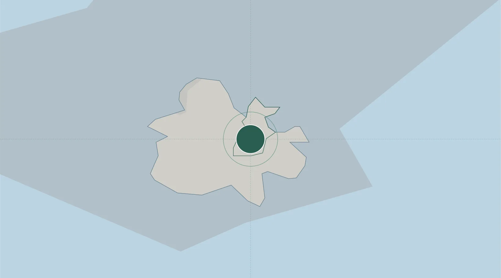
Parham
17.0833°, -61.7500°
969
Population
2
Transport functions
Transport Functions
Port
Multimodal
Hub Profile
Place type
Regional capital
Region
Saint Peter Parish
Population
969
Time zone
America/Antigua
Elevation
18 m
Location
Nearby Logistics Neighbours
Cities
- 1Falmouth8 km
- 2Saint John's11 km
- 3Little Bay57 km
- 4Anse-Bertrand73 km
- 5Port-Louis78 km
Ports
- 1St Johns11 km
- 2Port Louis78 km
- 3Charlestown94 km
- 4Pointe A Pitre97 km
- 5Basseterre106 km
Airports
DatabookThe Record of Consolidated Knowledge
Antigua & Barbuda beyond logistics?