Small airport · Brazil

Morro de São Paulo AirportSNPP
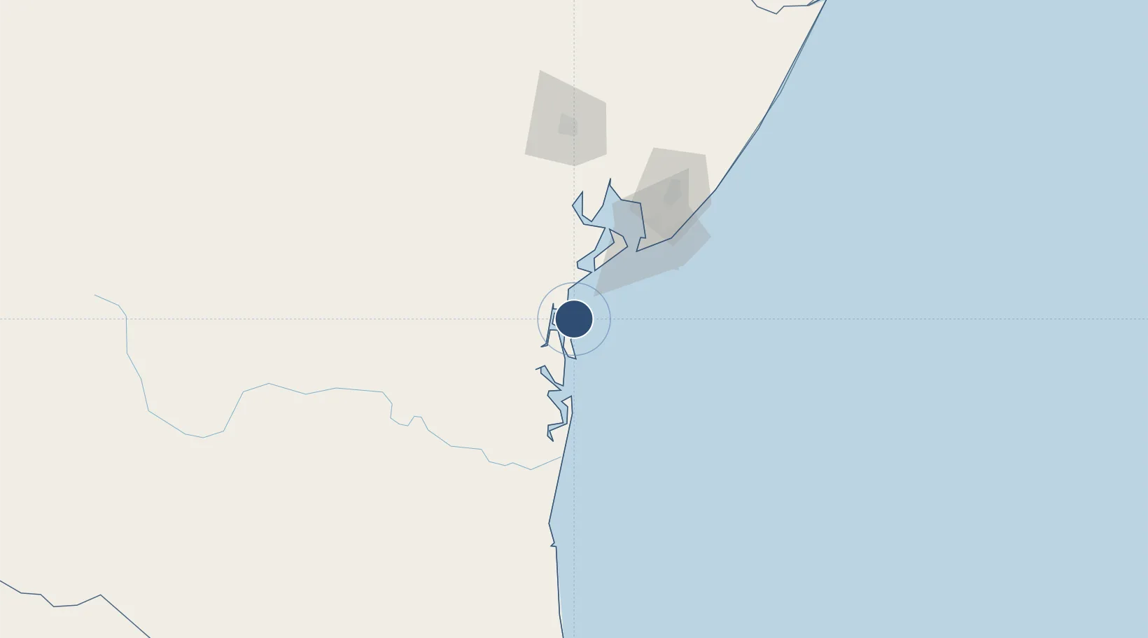
-13.4288°, -38.9137°
2,690 ft
Longest runway
1
Runways
33 ft
Elevation

Runway & Layout

Morro de São Paulo Airport runway & taxiway layout
Runway & taxiway layout — OpenStreetMap (ODbL) / OurAirports

Runways · 1

RunwayDimensions SurfaceTrue headingLit
16/34 2,690 × 59ft Asphalt
OurAirports

Airport Specifications

ICAO code
SDGX
OurAirports
Airport class
Small airport
OurAirports
Scheduled service
Yes
OurAirports
Runway surface
Asphalt
OurAirports
Served city
Cairu
OurAirports

Location

Location of SNPP
Natural Earth 10m (public domain) · Bahia · SNPP · -13.43, -38.91GoogleOSMYandex

Nearby Logistics Neighbours

Airports
  1. 1Valença Airport17 km
  2. 2Barra Grande Airport53 km
  3. 3Deputado Luiz Eduardo Magalhães International Airport86 km
  4. 4Fazenda Rosa do Deserto Airstrip94 km
  5. 5João Durval Carneiro Airport137 km
Nearest neighbours — logibook spatial index (haversine) over the source coordinates
Cities
  1. 1Salvador32 km
  2. 2Maragogipe74 km
  3. 3Madre de Deus85 km
  4. 4Aratu Pt / Candeias85 km
  5. 5Simões Filho85 km
Nearest neighbours — logibook spatial index (haversine) over the source coordinates
Ports
  1. 1Port De Salvador67 km
  2. 2Madre De Deus82 km
  3. 3Aratu85 km
  4. 4Port Of Ilheus151 km
  5. 5Port De Aracaju345 km
Nearest neighbours — logibook spatial index (haversine) over the source coordinates
Trade Zones
  1. 1Zona Franca Ilhéus (BA)135 km
  2. 2ZPE de Barra dos Coqueiros (SE)348 km
  3. 3ZPE de Teófilo Otoni (MG)565 km
  4. 4ZPE de Suape (PE)706 km
  5. 5ZPE de Aracruz (ES)713 km
Nearest neighbours — logibook spatial index (haversine) over the source coordinates
DatabookThe Record of Consolidated Knowledge
Brazil beyond logistics?
Browse databook

All Sources

AirportsOurAirports
Public domain
Portsthe NGA World Port Index
Public domain (US gov)
LocationsUN/LOCODE
UN/LOCODE — free
Trade Zonesthe World Bank SEZ database
CC BY 4.0
Trade ZonesOpen Zone Map
CC BY
InfrastructureOpenStreetMap
ODbL 1.0
← Brazil airports