Transport Functions
Rail
Road
Hub Profile
Place type
Populated place
Region
Chubut
Time zone
America/Argentina/Catamarca
Elevation
714 m
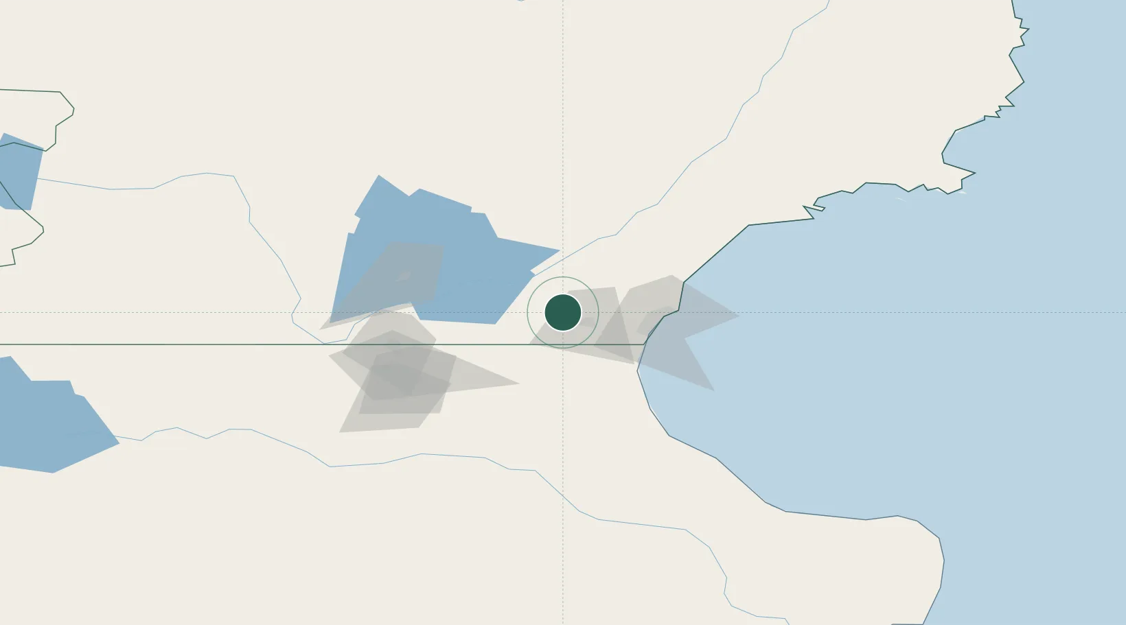
Location
Nearby Logistics Neighbours
Cities
- 1Caleta Córdoba79 km
- 2Puerto Deseado273 km
- 3Puerto Aisén362 km
- 4Rawson365 km
- 5Chacabuco370 km
Ports
- 1Comodoro Rivadavia48 km
- 2Puerto Deseado273 km
- 3Puerto Chacabuco371 km
- 4Puerto San Julian392 km
- 5Puerto Madryn416 km
Airports
- 1General Enrique Mosconi International Airport48 km
- 2Las Heras Airport107 km
- 3Perito Moreno Jalil Hamer Airport238 km
- 4Puerto Deseado Airport272 km
- 5Balmaceda Airport280 km
DatabookThe Record of Consolidated Knowledge
Argentina beyond logistics?